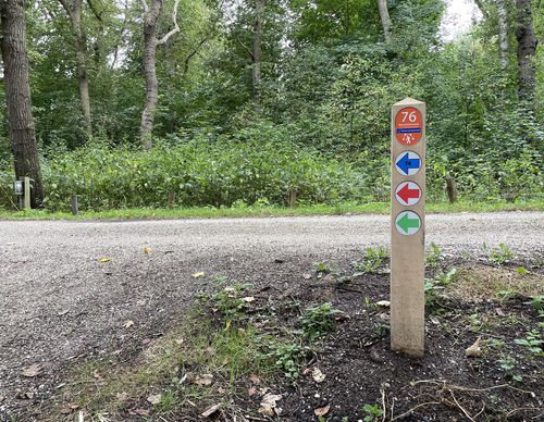
Starting point De Engelenbewaarder Badhoevedorp

Routes from this starting point
-
Vierbuizenmeer Walk (red)
Unpaved path (partly) - 2.61km
-
Old A9 Walk (yellow)
Unpaved path (partly) - 6.1km
-
Nieuwemeer Walk (green)
Unpaved path (partly) - 6.07km
Badhoevedorp is named after the Badhoeve, the model farm that the Amsterdam lawyer, mayor and farmer Jacob Amersfoordt founded opposite the bridge at Sloten in 1854. The large farm (200 ha) in the very young polder was a model for the use of modern machines, which was revolutionary at that time. In the 1930s, a lot of houses were built around the farm. The new garden village was mainly intended to accommodate employees of the relatively new Schiphol airport. Amsterdam residents in particular settled here because the polder village offered attractive homes and an oasis of peace and greenery. The farm yard was replaced by a park in 1991.
- The Vierbuizenmeer Walk (red) in Badhoevedorp is a nice circular walk to experience the garden village of old. The neighbourhood has a spacious layout, with curved avenues of trees, long ponds and a variety of tree species.
- The Old A9 Walk (yellow) in Badhoevedorp goes through Tuindorp and then leads through the Groene Zoom, where just a decade ago traffic used to race past. Via Het Lint, the old A9 route, you walk to Quatrebras. A stroll through this walking park is of course part of the route.
- The Nieuwemeer Walk (green) goes a step further than the Old A9 walk. From the Groene Zoom, the walk continues under the Badhoevedorp motorway junction. Paths along the golf course and on the other side in the slope of the motorway complete the circuit.

