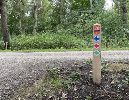
Starting point Middenduin Overveen

Routes from this starting point
-
Hoge Duin Walk (blue)
Unpaved path (partly) No dogs allowed Oneway route - 3.87km
-
Kamperberg Walk (red)
Unpaved path (partly) No dogs allowed Oneway route - 4.21km
The Staatsbosbeheer’s (Forestry Service) Middenduin is a beautiful walking area, a bit hidden away between the Zeeweg and Kraantje Lek. The contrast between three mini-landscapes at Overveen makes walking in this area especially fascinating. The surroundings of the Kamperberg are a semi-open dune. Thousands of sheep once grazed the dunes bare, resulting in sand drifts. Next to it is the former sand farm, where sand was excavated until 1948. The dune sand was transported via the Zanderijvaart to Haarlem and Amsterdam. After that, the area was used for bulb cultivation but Staatsbosbeheer (Forestry Service) put an end to this in 1992. The wet dune valley has now withered and, due to the influx of clean seepage water, special plants such as water violet and marsh grass of Parnassus are growing there. The Duinlust estate on the other side of the track couldn’t be more different. Immense Corsican and Scots pines grow on the steep slopes.
The routes below are marked in one direction.
- On the Hoge Duin Walk (blue) you first walk a bit along the Zanderijvaart in Overveen. At the Zanderij you will see the dune called Schippersduin. The dune got its name, which means Skipper’s Dune, due to the fact that the sand barge skippers could turn their barges in the water at the base of the dune. Past the railway tunnel you climb up the sloped forest of the Hoge Duin.
- The Kamperberg Walk (red) also follows the canal but goes past the sand excavation farm and into the grazing area with Scottish Highland cattle. This walk also zigzags along the edges of the Duinlust estate in Overveen. The steep descent leads to the former ice cellar on the edge of the forest.

