
Starting Point Oudesluis

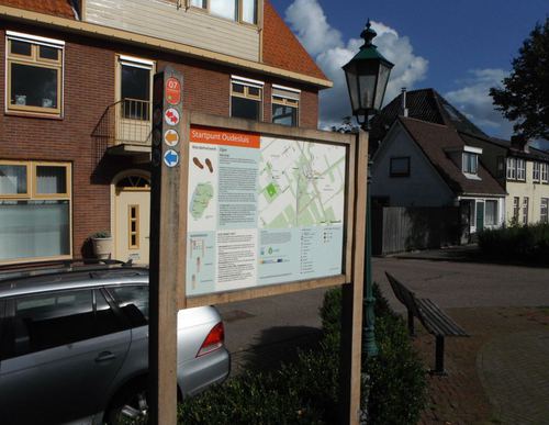
Routes from this starting point
-
Water Storage Route (red)
- 3.86km
-
Kolck Route (blue)
- 1.69km
-
Oudesluis Walk (orange)
- 1.97km
-
Kneeskade Route (yellow)
- 9.64km
-
North-West Dyke Route (purple)
- 9.66km
Oudesluis developed as a settlement by a lock shortly after the fourth and final embankment of the Zijpe tidal area in 1597. It still lay on the Wadden Sea at the time; the Anna Paulownapolder to the north was not created until 1845. Water from the Zijpepolder had to be discharged to sea here through the Groote Sluys. From a storage basin, the Kolck, windmills were intended to pump water out to sea. The basin proved unnecessary, however: at low tide, water easily drained away through a culvert. The drained basin is now home to the ’t Zijper Eilant holiday park. Since 2014, a water-storage area has been situated south of the village. In 1742, Oudesluis was the largest settlement in Zijpe. But after the North Holland Canal was built in 1824, Groote Sloot was no longer used as a through waterway, which saw Oudesluis go quieter.
- The Kolck Route (blue) follows the grassy embankment around ’t Zijper Eilant: an island circuit, in other words.
- The Oudesluis Walk (orange) shares the red route, then turns left at the so-called Bosmanmill back towards the village.
- The Water Storage Route (red) heads south through the water-storage area, passing kissing gates and stiles with views of bird-rich waters.
- The North-West Dyke Route (purple) partly follows the yellow route, then enters Wieringerwaard.
- The Kneeskade Route (yellow) follows the green North-West Dyke from Wieringerwaard to the lock settlement of Anna Paulowna.