
Starting Point Groote Keeten

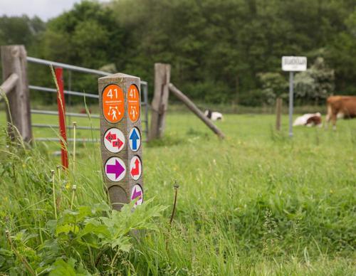
Routes from this starting point
-
Blue route from starting point Groote Keeten
- 5.13km
-
Orange route from starting point Groote Keeten
- 7.99km
-
Botgat circular walk
- 2.09km
wandelkaart startpunt Groote Keeten (1675 kb)
Originally, Groote Keeten was a small settlement of dyke and polder workers near the Dubbelduin and the Helmdijk of the Zandpolder, growing around an inspection hut used by supervisors, the Groote Keet. In 1610, work began on the construction of the Zanddijk from here to Huisduinen, mainly to protect the recently reclaimed Wieringerwaard. The breach between the Dubbelduin and the old Helmdijk (dating from around 1300) was repaired, as was the connection with the adjacent Noordschinkeldijk, which had been breached during the All Saints’ Flood of 1570. The dykes of the southern Zand- and Jewelpolders were also reinforced.
- The blue route runs through the beach and along the Callasande nature path to the Venne, restored to wet conditions in 1997 by Landschap Noord-Holland.
- The orange route follows the Botgat circular walk, then runs along the overgrown Helmdijk and the Noordschinkeldijk, before heading into the polder along the grass verge beside the mill ditch and continuing on asphalt beyond the small pumping station. It returns to the start along the Wegje van Callas and the Callassande nature path.
- The green Botgat circular walk runs through an area that was military land until 2005 and has since been returned to nature by Landschap Noord-Holland. The wet dune valley to the south is now open to walkers. ‘Botgat’ refers to the remains of soldiers killed during the British invasion of 1799 that were uncovered here. The route is waymarked with green arrows.