
Starting Point Schagerwiel

Routes from this starting point
-
Schagerwiel Route (red)
- 4.54km
-
Oudedijk Route (orange)
- 5.04km
-
Burghorn Route (purple)
- 10.29km
wandelkaart startpunt Schagerwiel (3516 kb)
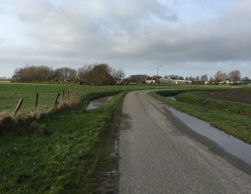
The large Schagerwiel breach pool was formed during the major floods of the 12th and 13th centuries, following breaches of the Westfriesedijk in 1170 and 1248. At that time, the dyke turned sharply eastwards near Sint Maarten towards Valkkoog – at the pool it is still known as the Oudedijk. The Burghorn polder, the oldest in Holland, did not yet exist: this land was tidal mudflats that could only be reclaimed and brought into cultivation after the construction of the Nieuwedijk in 1461, on the initiative of William the Bastard, the first Lord of Schagen. The house he built has since disappeared, as has the rest of the small settlement of ‘Burchhorne’.
- The red Schagerwiel Route runs through the open south-western edge of the town: past the pool, along the Tolkerdijk, and back past two old dwelling mounds, the Cornelissenwerf and Avendorp. The route is waymarked with red arrows.
- The orange Oudedijk Route runs along the Oudedijk, through the Halerpark, and along a former tramway and an old country road, both now cycle paths. The route is waymarked with orange arrows.
- The purple Burghorn Route runs around the marine clay polder of Burghorn, along the medieval Valkkogerdijk with its grass revetments, the Nieuwedijk, and the Hemkewerf, a dwelling mound inhabited since the 2nd century AD. The route is waymarked with purple arrows.