
Starting Point De Rijd

Routes from this starting point
-
De Rijd Route (yellow)
- 2.52km
-
Leijerroute (red)
- 4.84km
-
Verlaatroute (paars)
- 9.44km
wandelkaart startpunt De Rijd (2230 kb)
De Rijd originated as a peat lake and, before the land consolidation of 1970–1974, formed the southern boundary of the Kostverlorenpolder – a name that suggests it was once a financial loss. In 1975, a recreational area was developed on the northern bank of the lake, with bungalows, a marina, swimming pool, restaurant, and play and sunbathing areas. It is now set within greenery behind the dyke of the Alkmaar-Kolhorn Canal. This canal was constructed between 1938 and 1942 as a work relief project and is in fact a deepened and widened version of the old Herbergsloot.
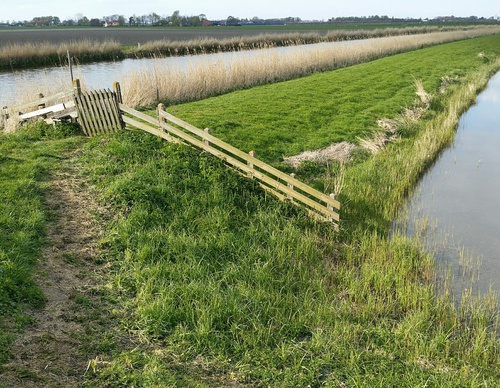
- The yellow De Rijd Route is a circular walk around the recreational area itself, partly along the grass dykes on the eastern bank of the canal. It also runs along the Westerweg and the attractive Dorpsstraat in Nieuwe Niedorp. The route is waymarked in both directions with yellow arrows.
- The red Leijer Route continues on the far side of the canal, following the line of the Noord-Hollandpad. At the Leijerbrug, the route leaves the grass dyke and returns along the Leijerdijk to the southern part of Nieuwe Niedorp. The route is waymarked in both directions with red arrows.
- The purple Verlaat Route runs through the dyke hamlet of Terdiek and past the church ruins to ’t Verlaat, the former lock of Niedorp (now Oude Niedorp). Until 1942, vessels passed through the lock here between the Westerlangereis, a medieval drainage canal, and the old Niedorpervaart, later deepened and widened to form the Alkmaar-Kolhorn Canal. The route is waymarked in both directions with purple arrows.