Starting point Hoofddorp Station

Routes from this starting point
-
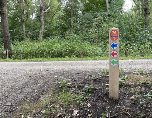
Geniedijk Route (green)
Unpaved path (partly) No dogs allowed - 10.61km
Hoofddorp station is located right on the Geniedijk, just inside the Defence Line of Amsterdam. This defensive line around the capital was built between 1880 and 1920 and consisted of an ingenious system of canals and locks. If the enemy were to invade the Netherlands, the floodgates would open. The Geniedijk had to ensure that the people behind it stayed dry. The entire Haarlemmermeer south of the dike would therefore be flooded in the event of a threat of war. Fortunately, it never came to that. Shortly after the reclamation, Hoofddorp was one of the two villages in the polder, located at the intersection of Hoofdvaart and Kruisvaart. It was therefore called 'Kruisdorp' until 1868 but that name already existed in Zeeland. Hoofddorp has grown along with Schiphol airport. Between 1970 and 2020, the population increased tenfold to 90,000. For all those residents, the Geniedijk is an attractive green artery to walk over or along.
Via Geniedijk, the Geniedijk Route (green) goes along the Wandelbos walking forest, orchards, a petting zoo and newer green spaces developed to compensate for the development of Schiphol. Wandelbos Hoofddorp was a job creation project from the crisis years before the Second World War. There is an owl roosting site and a heron colony, where spoonbills sometimes also occupy the nests. You can hear woodpeckers hammering away. The contrast with the Groene Carré and the Buitenschot land art park on the northeast beach of Hoofddorp is great. The sloped plot offers views of the busy metropolitan landscape.

