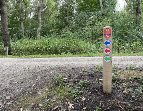
Starting point Lisserbroek

Routes from this starting point
-
Lisserbroek Route (green)
Unpaved path (partly) - 5.81km
-
Zwaansbroek Route (red)
Unpaved path (partly) - 6.66km
The Lisserbroek was already dry before the reclamation of the Haarlemmermeer in the middle of the 19th century. The subsoil is an offshoot of the dune region, which made it firmer and higher than the surroundings. It’s own encircling dike turned the land into the Lisserbroekpolder. Two fire or cruys beacons once guided shipping on the lake between Haarlem and Leiden through the narrow strait between 'Kaap de Hoop' and the island of Abbenes. Only by digging the ring canal of the Haarlemmermeer did the headland become detached from the old land around Lisse. A community developed around the extraction of the two-metre-thick layer of peat. For this purpose, a peat track was also constructed over the old eastern embankment. Connected to the economy of Lisse, many people later went into bulb and flower cultivation.
The Lisserbroek Route (green) leads around Lisserbroek over a few surprising paths, the quiet and winding Turfspoor and along the Ringvaart of the Haarlemmermeer Polder over the bustling Lisserdijk.- The Zwaansbroek Route (red) leads to and through the forest north of Lissebroek. Created in 2003, it’s a young forest in full growth and development.

