
Starting Point Wieringerwerf

Routes from this starting point
-
Tulip Route (orange)
- 3.34km
-
Terp Route (sea green)
- 8.22km
Wieringerwerf was the third village to be built in the Wieringermeerpolder (1930). Its first residents arrived in 1936. Slowly but surely, a village grew here that looked rather different from the first two, Slootdorp and Middenmeer. The main road did not run straight through the village but alongside it, on the western side, now the A7. There was no single long green village square or green, but several open spaces within the village. And to the south, on the site of today’s swimming pool, was something the other villages did not have: a square terp, or artificial mound. It was raised as a refuge for residents in times of flooding. It was used as such when the Germans blew up the IJsselmeer dyke on 17 April 1945 and the entire polder flooded.
Another feature that set the village apart was the Estates Office (1942), diagonally opposite this walking starting point. This was once the seat of the all-powerful Wieringermeer Directorate, the headquarters of this state polder. This gave Wieringerwerf a particular standing as the polder’s principal village.
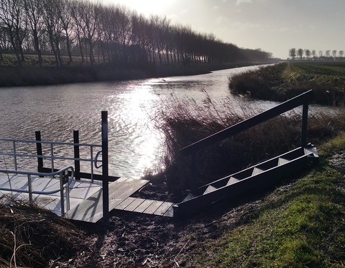
- The Tulip Route (orange) passes under the A7 and crosses by hand-pulled ferry to bulb fields and arable land. You follow a farm track beside the broad Oosterterptocht, then take a right-angled turn towards Wierweg.
- The Terp Route (sea green) is a short circuit through the green edges of the village, including the terp.