
Starting Point Eenigenburg

Routes from this starting point
-
Nuwendore circular walk (yellow)
- 5.01km
-
Purple route from starting point Eenigenburg (purple)
- 6.8km
-
Sea-green route from starting point Eenigenburg (sea-green)
- 5.26km
wandelkaart startpunt Eenigenbrug (2412 kb)
Eenigenburg is a medieval village built on raised mounds, with a rich history. In 1289 it was known as Eini(g)hborg and in 1600 as Eenighenburg. The name means ‘burcht nige Ee’, Old Frisian for fortified farmstead by the water. The water in question was the Zijpe coastal inlet. Slightly to the south stood the Huys te Nuwendore, built around 1282 as a fortress by Floris V, Count of Holland, to keep the rebellious West Frisians in check. The fortress was washed away in a dyke breach in 1375. In 2011 it was partly reconstructed with a transparent lookout tower. Of the four mounds, two are still clearly visible in the landscape: the church mound and ’t Hoogt, the main village mound.
- The Nuwendore Circular Walk runs inland to Nuwendore Castle, along a farm track to the Westfriese Omringdijk and across the main village mound.
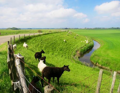
- The purple circular walk runs along the Westfriese Omringdijk, winding past the two Burgerwielen pools and through the polder north of Eenigenburg along farm tracks and country lanes. This route can be combined with a visit to Museum Eenigenburg.
- The sea-green circular walk runs along a farm track to the western edge of Tuitjenhorn and returns past the small village museum in the hamlet of Surmerhuizen. Between markers 64 and 66, a short detour leads to the church mound, a particularly attractive spot with its parsonage and sexton’s house.