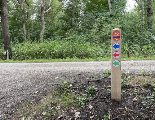
Starting point Heemstede - Aardenhout Station

Routes from this starting point
-
Crayenest Route (red)
Unpaved path (partly) - 4.38km
-
Aerdenhout Walk (purple)
Unpaved path (partly) - 7.19km
Until the Middle Ages, Aerdenhout, the other ‘hout’ along with the Haarlemmerhout, was part of the De Hout forested landscape that covered the old beach ridges behind the dunes from Leiden to Alkmaar. Much of this forest landscape has been lost due to sand excavation, building construction and agricultural use. Aerdenhout originated in the first half of the last century on the spot where a beach ridge merges into the dunes. Although no longer a real forest, the residential district has a lot of greenery and beautiful old trees.
The Crayenest Route (red) in Heemstede leads to Crayenest, once a hamlet, on the south side of the Haarlemmerhout. The Koninklijke HFC football club has its pitch there. In the 17th century, there were several mansions (including Huis te Crayenest) and five inns. The route takes you via a kwakelbrug (a bascule bridge) over the Crayenestersingel. The Singelvaart was once dug for sand extraction and was later also useful for the transport of textiles for the bleach houses and laundries. The route also leads over a remnant of the beach ridge forest at Nieuw Overbos and along the Berkenrode estate.- The Aerdenhout Walk (purple) leads past the parks and public gardens of the residential district. There’s also a brief visit to the Haarlemmerhout. Separated by greenery and gardens, each house has plenty of its own space. Closer to the station, the buildings are more compact and there seems to be more attention for the collective space. It couldn’t be any more cosy.

