
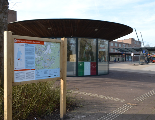
Uithoorn Bus Station Starting Point

Routes from this starting point
-
Rondje Zijdelmeer (groen)
- 4.43km
-
Amsteldijkroute (rood)
- 9.13km
-
Polderspoorpad (zwart)
- 18.95km
Kaart startpunt Uithoorn Busstation (2722 kb)
The present Uithoorn used to consist of two villages: Thamen, approximately at the location where the bus station is now located, and Uithoorn on the banks of the Amstel river. Followers of the Reformed Church lived in Thamen and the Catholics lived in Uithoorn. Both villages were surrounded by water on all sides: the Amstel in the east, the Zijdelmeer lake in the south, and the Legmeer lake in the north - which was drained in the 19th century. In the first half of the 20th century Uithoorn was an important junction of railway lines. The new express tram to Amstelveen will broadly follow one of the old railway routes.
- The Rondje Zijdelmeer or Zijdelmeer Walk (green) is a shorter walk along the banks of this old peat lake where there is plenty of nature to enjoy, including ragged robin flowers and orchids and small songbirds such as greenfinches. There used to be a lock to the Amstel river on the south bank, where the town hall is now located.
- The Amsteldijkroute or Amstel Dyke Route (red) runs through the Libellebos park and the new water storage areas
on the Hollandsedijk to the Amstel river and then follows the banks to the south for a while. Along the way, you will pass Thamen’s 19th century church, the former station building, and the Fort aan de Drecht, which was part of the Defence Line of Amsterdam. - The Polderspoorpad (black) largely runs along and across the Legmeer, which was drained in the 19th century. Now it is mainly polder land and a home to many meadow birds.