
Waalenburg

Routes from this starting point
-
De Marel Circular Walk (white)
- 1.82km
-
Loopie Waalenburg Walk (blue)
- 2.74km
-
Polderpracht Route (red)
- 8.3km
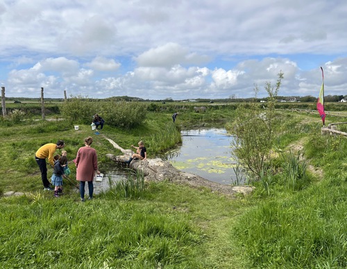
Waalenburg is a true Texel Wadden polder. It used to be a salt marsh governed by the sea. The current polder was created in 1654 with the construction of the Ruigendijk on the north side. In the low-lying polder, the meandering creeks from before the land reclamation are still clearly visible. The water in the creeks is brackish, so you can find salt marsh plants such as seepweed and samphire. Meadow birds are abundant here, partly because Natuurmonumenten (Society for Nature Monuments) gives them plenty of time and space to breed and raise their young. Birds that breed here include the black-tailed godwit, redshank and oystercatcher. Stop by the De Marel Nature Centre for more information and a cup of coffee. Or scan the QR codes on Natuurmonumenten’s website for the routes.
- The De Marel Circular Walk (white) is a short walk to get acquainted with the beauty of the polder full of flowers and birds. The fully paved walk is suitable for prams and wheelchairs and includes a short round trip to a nice observation point.
- The Loopie Waalenburg Walk (blue) leads you through colourful meadows, where you can enjoy the song of the skylark high above the land.
- The Polderpracht Route (red) is a long loop between the grassland and creeks and along the Ruigendijk. Outside the breeding season, sheep graze in the pastures. In autumn and winter, it is bursting with migratory birds, wigeons and ducks.