
Amstel Dyke Route (red)
Good
3 Ratings
Rate this route
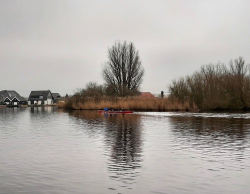
The Amsteldijkroute or Amstel Dyke Route (red) runs right through Uithoorn to the Zijdelmeer lake, where orchids grow in the reed beds on the banks. Via the Libellebos park, where Scottish highland cattle graze, it heads to the new water storage areas on the Hollandsedijk and then back along the banks of the Amstel river. Along the way, you will pass Thamen’s 19th century church and the former station building.
-
 To add this route in the app: scan the QR code from within the app. or enter the route number 135253 in.
 - 9.13 km
-
 Closed route
-
 Soon-to-be closed route
-
 Reports
-
 Hike point
-
 Starting point
-
 One-way path
Scroll the table below horizontally to see more

| From | To | Segment length | Marking(s) | Characteristics | Reports |
|---|---|---|---|---|---|
|
Fort aan de drecht starting point (tourist transfer point) |
1.16 km |
|
|
||
| 0.49 km |
|
|
|||
| 0.2 km |
|
|
|||
|
Uithoorn bus station starting point |
0.62 km |
|
|
||
|
Uithoorn bus station starting point |
2.45 km |
|
|
||
| 0.44 km |
|
|
|||
| 2.73 km |
|
|
|||
| 0.84 km |
|
|
|||
|
Fort aan de drecht starting point (tourist transfer point) |
0.22 km |
|
|