
Blue route from starting point Schagerbrug
Average
8 Ratings
Rate this route
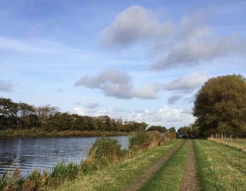
The blue route runs along the sheltered Ruigeweg to ’t Ananas, a traditional Dutch farmhouse built in the shape of a cheese cover, dating from 1900 in the small Ananas woodland. It then continues past the new pumping station on the Noordhollandsch Canal and along the former towpath to the Stolpen–Kolhorn Canal at the drawbridge, returning along the grass dyke. Dogs are not allowed on part of the route.
-
 To add this route in the app: scan the QR code from within the app. or enter the route number 2518 in.
 - 7.46 km
-
 Closed route
-
 Soon-to-be closed route
-
 Reports
-
 Hike point
-
 Starting point
-
 One-way path
Scroll the table below horizontally to see more

| From | To | Segment length | Marking(s) | Characteristics | Reports |
|---|---|---|---|---|---|
|
Starting point schagerbrug |
Starting point schagerbrug |
7.46 km |
|
|