
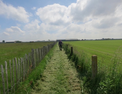
Blue route from starting point Sint Maarten
Average
4 Ratings
Rate this route
The Herenweg and Wijzendweg follow former secondary dykes behind the medieval sea dyke. Until the end of the 16th century, the Zijpepolder was still filled with seawater.
Continuing to marker 57 from marker 55 offers fine views over the Modderwiel and the Dijkstalwiel. These pools are silent witnesses to dyke breaches, probably dating from the 16th century. Today they form small protected nature areas with monument status and are characteristic features of the Westfriese Omringdijk.
Between markers 56 and 55, the route crosses pasture. Outside the bird breeding season (15 March–15 June), the red route can be followed at marker 57, offering a more extensive view of low-lying areas behind the sea dyke and the breach pools.
-
 To add this route in the app: scan the QR code from within the app. or enter the route number 24932 in.
 - 3.29 km
-
 Closed route
-
 Soon-to-be closed route
-
 Reports
-
 Hike point
-
 Starting point
-
 One-way path

| From | To | Segment length | Marking(s) | Characteristics | Reports |
|---|---|---|---|---|---|
|
Starting point sint maarten |
0.23 km |
|
|
||
| 0.17 km |
|
|
|||
| 0.22 km |
|
|
|||
| 0.02 km |
|
|
|||
| 0.62 km |
|
|
|||
| 0.17 km |
|
|
|||
| 0.27 km |
|
|
|||
| 0.81 km |
|
|
|||
| 0.37 km |
|
|
|||
| 0.09 km |
|
|
|||
| 0.21 km |
|
|
|||
|
Starting point sint maarten |
0.11 km |
|
|