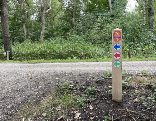
Floriande-Oost Route (blue)
Unpaved path (partly)
Good
1 Ratings
Rate this route
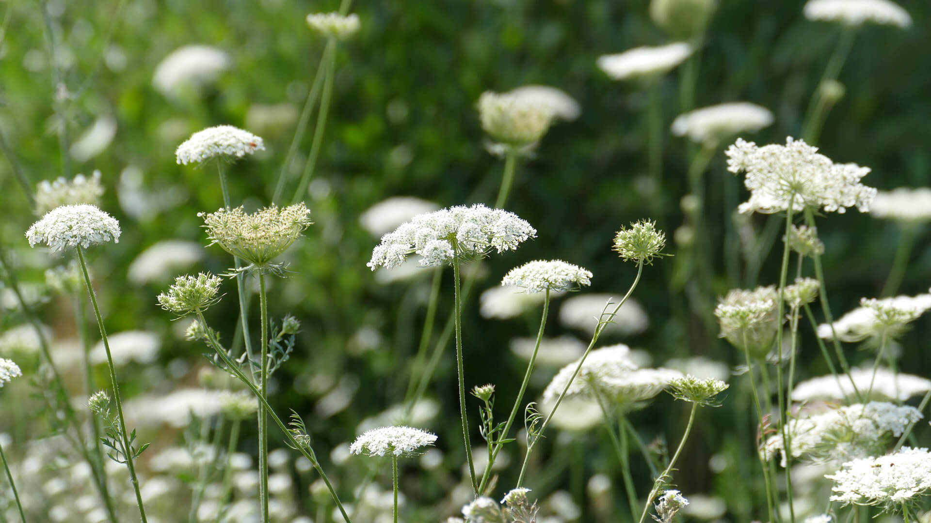
The Floriande-Oost Route (blue) in Hoofddorp seeks out the sporty and adventurous sides of the Toolenburgerplas and PARK21 where swimmers, divers, surfers, climbers, walkers and nature lovers can all enjoy themselves. The route also leads through the Floriande-Oost district along the Cycladenarchipel area and the green border around the Altenapad.
-
To add this route in the app: scan the QR code from within the app. or enter the route number 189723 in.
- 7.86 km
-
 Closed route
-
 Soon-to-be closed route
-
 Reports
-
 Hike point
-
 Starting point
-
 One-way path
Scroll the table below horizontally to see more
| From | To | Segment length | Marking(s) | Characteristics | Reports |
|---|---|---|---|---|---|
|
Starting point tooleburg hoofddorp |
0.27 km |
|
|
|
|
| 0.79 km |
|
|
|
||
| 0.75 km |
|
|
|
||
| 1.35 km |
|
|
|
||
| 0.65 km |
|
|
|
||
| 1.55 km |
|
|
|
||
| 0.28 km |
|
|
|
||
| 0.09 km |
|
|
|
||
| 1.6 km |
|
|
|
||
|
Starting point tooleburg hoofddorp |
0.51 km |
|
|
|


