
Green route from starting point St Maartenszee
Moderate
5 Ratings
Rate this route
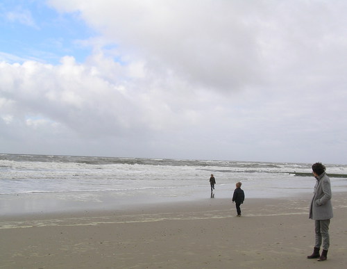
The route runs around the Zwanenwater nature reserve, managed by Natuurmonumenten (Society for Nature Monuments), as far as the lively dune village of Callantsoog, with many places to eat and drink, then continues along the Zuidschinkeldijk (a dyke reinforced by wind-blown sand from 1553) and returns over the overgrown Zijperzeedijk.
At marker 38, it is possible to cross the road to Het Zwanenwater, managed by Natuurmonumenten. The walk can be extended here by choosing one of the marked routes: the yellow route (2 km) or the brown route (4.5 km). Entry to Het Zwanenwater is free for members of Natuurmonumenten. Non-members can purchase a day ticket from the ticket machine at the entrance.
-
 To add this route in the app: scan the QR code from within the app. or enter the route number 2529 in.
 - 11.93 km
-
 Closed route
-
 Soon-to-be closed route
-
 Reports
-
 Hike point
-
 Starting point
-
 One-way path
| From | To | Segment length | Marking(s) | Characteristics | Reports |
|---|---|---|---|---|---|
|
Starting point sint maartenszee |
0.1 km |
|
|
||
| 0.24 km |
|
|
|||
| 0.08 km |
|
|
|||
| 0.23 km |
|
|
|||
| 0.87 km |
|
|
|||
| 0.21 km |
|
|
|||
| 4.16 km |
|
|
|||
| 0.19 km |
|
|
|||
| 0.57 km |
|
|
|||
| 1.01 km |
|
|
|||
| 3.76 km |
|
|
|||
| 0.19 km |
|
|
|||
| 0.23 km |
|
|
|||
|
Starting point sint maartenszee |
0.09 km |
|
|