
Harbor Route (red)
Rate this route
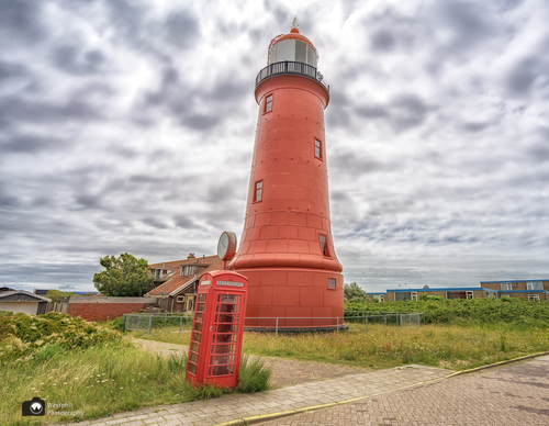
The Harbour Route (red) in IJmuiden links various highlights: the Marina Seaport, the high Semaphore dunes with beautiful views, Kennemer lake and the Bunker Museum. There’s an impressive view of the sea lock complex and the Forteiland (island fortress). The coastal fort on the island was built in 1885 and is part of the Defence Line of Amsterdam, a former military defence line.
-
 To add this route in the app: scan the QR code from within the app. or enter the route number 11095 in.
 - 4.38 km
-
 Closed route
-
 Soon-to-be closed route
-
 Reports
-
 Hike point
-
 Starting point
-
 One-way path
Scroll the table below horizontally to see more

| From | To | Segment length | Marking(s) | Characteristics | Reports |
|---|---|---|---|---|---|
|
Starting point ijmuiden aan zee |
1.05 km |
|
|
||
| 0.25 km |
|
|
|||
| 0.25 km |
|
|
|||
| 0.17 km |
|
|
|||
| 0.36 km |
|
|
|||
| 0.32 km |
|
|
|||
| 0.25 km |
|
|
|||
| 0.21 km |
|
|
|||
| 0.2 km |
|
|
|||
| 1.08 km |
|
|
|||
|
Starting point ijmuiden aan zee |
0.26 km |
|
|