
Koegras Route (orange)
Good
4 Ratings
Rate this route
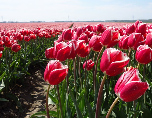
The orange Koegras Route runs from Julianadorp through the bulb fields of the Koegras polder, through De Helderse Vallei and the Noordduinen. This route is waymarked in both directions with orange arrows.
This route (in reverse) was the ‘Circular Walk of the Month’ in April 2024, in a feature written by Westphil Wandelt. Read their walking report here.
-
 To add this route in the app: scan the QR code from within the app. or enter the route number 51384 in.
 - 9.39 km
-
 Closed route
-
 Soon-to-be closed route
-
 Reports
-
 Hike point
-
 Starting point
-
 One-way path
Scroll the table below horizontally to see more

| From | To | Segment length | Marking(s) | Characteristics | Reports |
|---|---|---|---|---|---|
|
Starting point de zandloper |
0.12 km |
|
|
||
| 0.08 km |
|
|
|||
| 2.66 km |
|
|
|||
| 0.38 km |
|
|
|||
| 0.28 km |
|
|
|||
| 0.39 km |
|
|
|||
|
Starting point de helderse vallei |
0.56 km |
|
|
||
|
Starting point de helderse vallei |
0.16 km |
|
|
||
| 0.06 km |
|
|
|||
| 0.16 km |
|
|
|||
| 0.28 km |
|
|
|||
| 3.66 km |
|
|
|||
|
Starting point de zandloper |
0.61 km |
|
|