
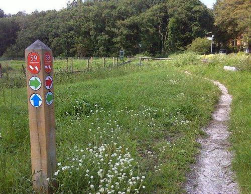
Air Watchers Route (blue)
Good
7 Ratings
Rate this route
The Air Watchers Route (blue) takes you past, among other things, a WWII military airfield and several surrounding bunkers. A pumping station is well concealed in the dyke on the airfield’s south-eastern side, so that it cannot be seen from the air. The route also passes the Philistine Mill. Part of the route runs through a meadow-bird area, which is closed during the breeding season (15 March–1 July).
-
 To add this route in the app: scan the QR code from within the app. or enter the route number 396 in.
 - 7.44 km
-
 Closed route
-
 Soon-to-be closed route
-
 Reports
-
 Hike point
-
 Starting point
-
 One-way path
Scroll the table below horizontally to see more

| From | To | Segment length | Marking(s) | Characteristics | Reports |
|---|---|---|---|---|---|
|
Starting point groeneweg |
0.94 km |
|
|
||
| 1.2 km |
|
|
|||
| 3.41 km |
|
|
|||
| 0.53 km |
|
|
|||
| 0.78 km |
|
|
|||
| 0.44 km |
|
|
|||
|
Starting point groeneweg |
0.15 km |
|
|