
De Mient Nature Trail (red)
Good
1 Ratings
Rate this route
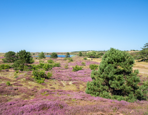
De Mient Nature Trail (red) leads through a changing landscape. The once damp heathlands at the inner dune edge, later production forest, have been enriched with deciduous forest and pretty clearings. Put on your walking shoes for a delightful journey across wooded dune ridges, heathland and damp lowlands.
-
 To add this route in the app: scan the QR code from within the app. or enter the route number 236363 in.
 - 4.46 km
-
 Closed route
-
 Soon-to-be closed route
-
 Reports
-
 Hike point
-
 Starting point
-
 One-way path
Scroll the table below horizontally to see more

| From | To | Segment length | Marking(s) | Characteristics | Reports |
|---|---|---|---|---|---|
|
Monnikenweg |
0.57 km |
|
|
||
| 1.06 km |
|
|
|||
| 0.46 km |
|
|
|||
| 0.74 km |
|
|
|||
| 0.43 km |
|
|
|||
| 1.14 km |
|
|
|||
|
Monnikenweg |
0.07 km |
|
|