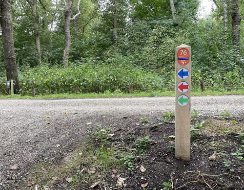
Toolenburgerplas Walk (red)
Unpaved path (partly)
Rate this route
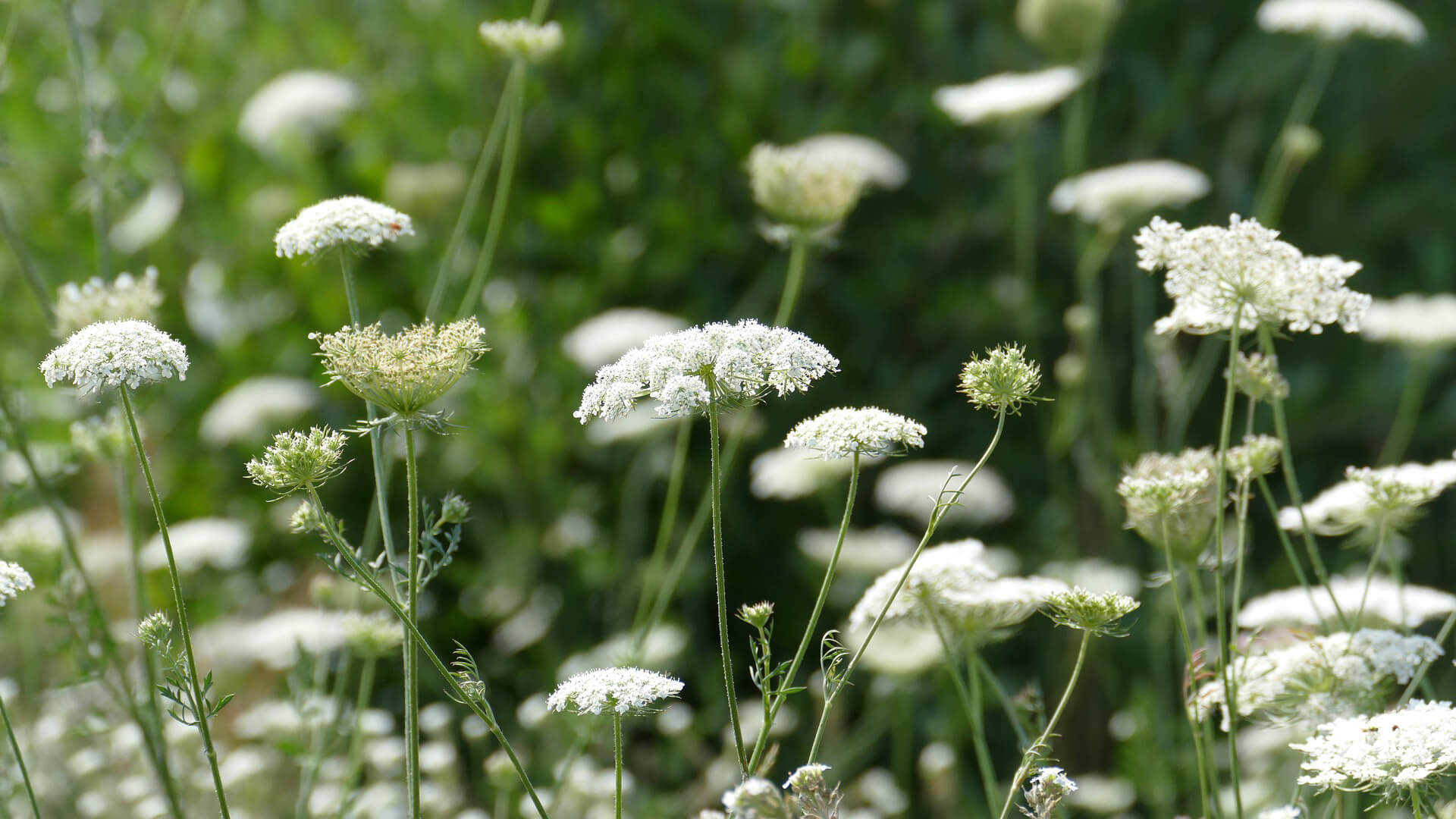
The Toolenburgerplas Walk (red) leads through different zones around the Toolenburgerplas in Hoofddorp. The park zone offers opportunities for games and sports, while the water recreation zone is for surfing, swimming and fishing. In the nature reserve, sandy terrain alternates with dune vegetation and marshy areas. A nesting wall provides nesting opportunities for sand martins. There are cafés at the lake.
-
To add this route in the app: scan the QR code from within the app. or enter the route number 189721 in.
- 2.97 km
-
 Closed route
-
 Soon-to-be closed route
-
 Reports
-
 Hike point
-
 Starting point
-
 One-way path
Scroll the table below horizontally to see more
| From | To | Segment length | Marking(s) | Characteristics | Reports |
|---|---|---|---|---|---|
|
Starting point tooleburg hoofddorp |
0.51 km |
|
|
|
|
| 0.75 km |
|
|
|
||
| 0.64 km |
|
|
|
||
| 0.79 km |
|
|
|
||
|
Starting point tooleburg hoofddorp |
0.27 km |
|
|
|


