
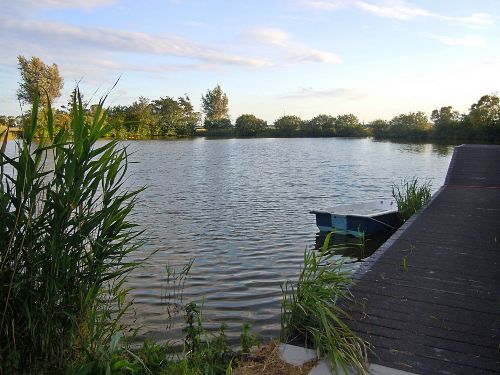
Orange route from starting point Sint Maarten
Great
1 Ratings
Rate this route
The route runs along the grass verge of the Valkkogerdijk and across several pastures. It also passes two breach pools near the cemetery and campsite south-east of Sint Maarten.
Note: from mid-October to early December there is a small chance that a bull may be grazing in the fields around marker 43. If so, this will be indicated by the farmer at the start of the farm track.
-
 To add this route in the app: scan the QR code from within the app. or enter the route number 24986 in.
 - 3.64 km
-
 Closed route
-
 Soon-to-be closed route
-
 Reports
-
 Hike point
-
 Starting point
-
 One-way path
Scroll the table below horizontally to see more

| From | To | Segment length | Marking(s) | Characteristics | Reports |
|---|---|---|---|---|---|
|
Starting point sint maarten |
0.11 km |
|
|
||
| 0.88 km |
|
|
|||
| 0.6 km |
|
|
|||
| 0.95 km |
|
|
|||
| 0.67 km |
|
|
|||
|
Starting point sint maarten |
0.43 km |
|
|