
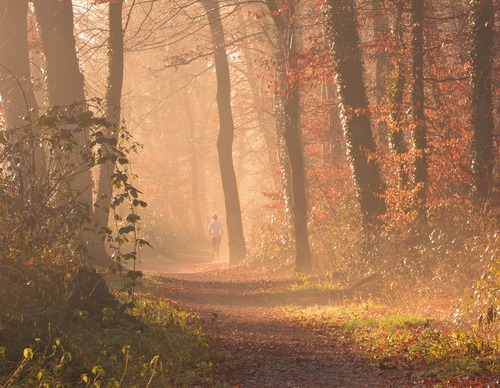
Robbenoordbos Route (yellow)
Average
4 Ratings
Rate this route
The yellow Robbenoordbos Route explores the north-eastern part of the woodland along narrow, unpaved paths deep in the forest and along the water’s edge. The route is waymarked in both directions with yellow arrows.
-
 To add this route in the app: scan the QR code from within the app. or enter the route number 56362 in.
 - 5.64 km
-
 Closed route
-
 Soon-to-be closed route
-
 Reports
-
 Hike point
-
 Starting point
-
 One-way path
Scroll the table below horizontally to see more

| From | To | Segment length | Marking(s) | Characteristics | Reports |
|---|---|---|---|---|---|
|
Starting point robbenoordbos |
0.15 km |
|
|
||
| 0.37 km |
|
|
|||
| 1.75 km |
|
|
|||
| 1.38 km |
|
|
|||
| 2 km |
|
|
|||
|
Starting point robbenoordbos |
0.15 km |
|
|