
Tolke Route (blue)
Average
16 Ratings
Rate this route
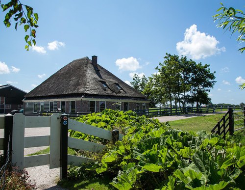
The Tolke Route runs through the old mound landscape south of the town, along former tramways, partly unpaved country and dyke roads, canal-side paths and mound tracks.
The route is waymarked with blue arrows.
This route was featured as the ‘Circular Walk of the Month’ in July 2021, in a feature written by the Westphil Wandelt bloggers. Read their walking report here.
-
 To add this route in the app: scan the QR code from within the app. or enter the route number 2161 in.
 - 8.38 km
-
 Closed route
-
 Soon-to-be closed route
-
 Reports
-
 Hike point
-
 Starting point
-
 One-way path
Scroll the table below horizontally to see more

| From | To | Segment length | Marking(s) | Characteristics | Reports |
|---|---|---|---|---|---|
|
Starting point slot schagen |
0.13 km |
|
|
||
| 1.12 km |
|
|
|||
| 1.82 km |
|
|
|||
| 1.31 km |
|
|
|||
| 1.52 km |
|
|
|||
| 1.42 km |
|
|
|||
| 0.59 km |
|
|
|||
| 0.42 km |
|
|
|||
|
Starting point slot schagen |
0.05 km |
|
|