
Wierdijk Route (blue)
Good
1 Ratings
Rate this route
The blue-marked Wierdijk Route runs to the old hamlet of Stroe on higher ground. A short link to the Hippolytushoeverdijk offers fine views over the 19th-century Waard-Nieuwland polder.
The Hippolytushoeverdijk is an old dyke built from compressed eelgrass. Many such dykes were constructed over the centuries around the Zuiderzee and the Wadden Sea. They withstood storms better because the dried eelgrass compressed under pressure into a dense mass that was less easily washed away.
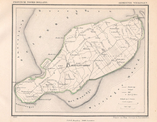
The walk starts and ends in Hippolytushoef, the largest village on the former island of Wieringen. The name probably derives from a farm dedicated to St. Hippolytus, a Greek saint from the early history of the Church.
The Wierdijk Route is waymarked in both directions with blue arrows.
-
 To add this route in the app: scan the QR code from within the app. or enter the route number 47456 in.
 - 10.23 km
-
 Closed route
-
 Soon-to-be closed route
-
 Reports
-
 Hike point
-
 Starting point
-
 One-way path
| From | To | Segment length | Marking(s) | Characteristics | Reports |
|---|---|---|---|---|---|
|
Starting point hippolytushoef |
1.58 km |
|
|
||
| 1.28 km |
|
|
|||
| 0.17 km |
|
|
|||
| 2.48 km |
|
|
|||
| 1.39 km |
|
|
|||
| 0.86 km |
|
|
|||
| 1.82 km |
|
|
|||
| 0.32 km |
|
|
|||
|
Starting point hippolytushoef |
0.44 km |
|
|