
Starting point Stad van de Zon

Routes from this starting point
-
etappe 1 van het Heerhugopad
- 6.88km
-
etappe 2 van het Heerhugopad
- 9.96km
-
Energy and Sun Route (red)
- 3.94km
-
Waterside Route (yellow)
- 3.64km
-
Stad van de Zon Circuit (blue)
- 9.62km
-
Woodland and Waterway Route (purple)
- 8.26km
-
Park van Luna Walk (orange)
- 2.7km
Kaart Startpunt Stad van de Zon 2026 (1704 kb)
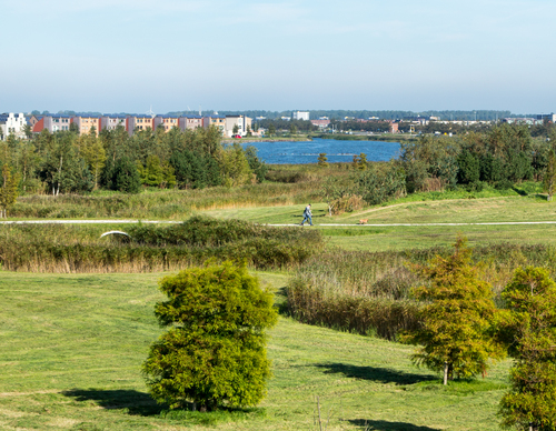
Sustainability is the key word in this distinctive, modern residential district: the roofs here are full of solar panels, the expansive landscapes home to wind turbines. Five routes start here.
- The Park van Luna Walk (orange) passes through Park van Luna and the former nineteenth-century pumping station on the Ringvaart, now home to the Polder Museum. The museum tells the story of the drainage of the Grote Waert in 1631.
- The Waterside Route (yellow) views Stad van de Zon from the north-west. Here too, you can enjoy the expansive waterscape.
- The Energy and Sun Route (red) explores the south-eastern part of the district. Everything revolves around water, wind and sun. From the Meer van Luna, you have a fine view of the district and its many solar panels. Winding paths and watercourses make the Flow Labyrinth, an ecological water-treatment facility, a striking feature.
- The Woodland and Waterway Route (purple) combines Park van Luna and Huygendijkbos with the Schermer Ringvaart. Much of the route follows unmade paths, including a lovely grassy bank.
- The Stad van de Zon Circuit (blue) is a longer walk. To the south is Huygendijkbos, an undulating woodland of broad-leaved trees and open meadows.
- The Heerhugopad (blue-red) runs to Obdam in three stages. It takes you to hidden places unknown even to many Heerhugowaard locals.