
Starting Point Valkkoog

Routes from this starting point
-
Green route from starting point Valkkoog
- 5.26km
-
Blue route from starting point Valkoog
- 3.46km
-
Yellow route from startingpoint Valkkoog
- 8.45km
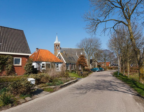
Valkkoog means ‘outer-dyke land with falcons’. The village developed around 1170 on a dwelling mound. The surrounding land was reclaimed and divided into north–south strips around 1390. Valkkoog remains an attractive village, protected on the north side by the Valkkogerdijk. This dyke lies behind the Westfriese Zeedijk or Omringdijk, which was raised and strengthened after the great flood of 1248. It is a true monument to hard labour. Dyke breaches created deep pools, around which new sections of dyke had to be built by large numbers of dyke workers. These breach pools lie to the north of Valkkoog and to the south of Sint Maarten. Today they are fringed with reeds and rich in water birds. Beyond the dyke lies the Burghorn salt-marsh polder, formed after the construction of the Nieuwedijk in 1461.
- The green circular walk is an extended version of the blue circular walk. South of the Killemerweg, the route runs along two farm tracks.
- The blue circular walk runs past two breach pools and along a farm track to the church of Valkkoog, which dates partly from the 16th century and partly from the 19th century.
- The yellow circular walk runs south through the hamlet of Groenveld, its fine polder mill (1560), and the medieval Tolkerdijk.
Note: from mid-October to early December, a bull may be grazing in the fields around marker 43. Dogs are not allowed on the farm tracks.