
Starting Point Den Helder Station

Routes from this starting point
-
Willemsoord Route (red)
- 9.36km
-
Lange Jaaproute (green)
- 8.76km
Themed routes from this starting point
-
North-Holland Route
- 182.81km
-
Marsdiep Route
- 4.1km
-
Helderse Duinen
- 17.17km
wandelkaart startpunt Den Helder Station (1874 kb)
The Second World War caused devastating damage here. In May 1940, it began with heavy bombing by the Luftwaffe. The Germans then demolished the old town of Den Helder and the seafront on the northern side to make way for their Atlantic Wall. Later in the war, Allied bombing added further destruction. After the war, efforts were made to repair the damage as far as possible and rebuild the town. The results can be seen in three walks.
The forts, the fine sea views and the bulb fields in spring make the walking routes in this area so distinctive.
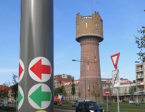
- The red Willemsoord Route explores the south-west side of the former naval dockyard Willemsoord, the Koopvaardershaven and two defence forts: Fort Dirksz Admiraal and Fort Westoever. The route is waymarked in both directions with red arrows.
- The blue Marsdiep Route runs along the northern side of Willemsoord, by the sea dyke and the town centre.
- The green Lange Jaap Route runs through the town centre to the sea dyke, passing the rebuilt Oude Helder and continuing towards the Lange Jaap, the red lighthouse dating from 1878. It then runs around Fort Erfprins and along the Liniedijk.