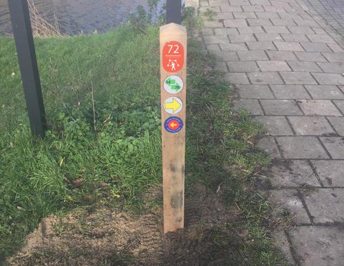
Diemen-Zuid Station Starting Point

Routes from this starting point
-
Diemen-Zuidroute (yellow)
Unpaved path (partly) - 3.8km
-
Campusroute (red)
Unpaved path (partly) - 4.57km
-
Bijlmerweideroute (green)
Unpaved path (partly) - 9.22km
kaart startpunt Station Diemen-Zuid 2020 (2222 kb)
This modern part of Diemen borders on the Bijlmer district. On the north side, the buildings have swallowed up the original Venserpolder with its former Ouderkerkerkerlaan. But on the south side, where many offices have been converted into homes, there are urban green areas and you can discover a remnant of the ring dike around the old Bijlmermeerpolder, complete with footpaths. It’s an unexpected part of the city outskirts. On the north side, the Weespertrekvaart and 18th and 19th century Diemen around the Diemerbrug provide an atmospheric village view.
- The Diemen-Zuidroute (yellow) covers the northern part of new Diemen, via all kinds of shell-covered paths, green areas, pavements and sandy paths. There is also a lively part along the Weespertrekvaart and Diemerbrug. In short, it has a little of everything.
- The Campusroute (red) is a green walk through the student village of Diemen, the new Holland Park residential area and the northern edge of the Bijlmer. The return journey takes you along the Weespertrekvaart and the footpath underneath the railway embankment, from the Rustoord cemetery.
- The Bijlmerweideroute (green) goes a step further and passes through the green edge of the Bijlmer, the Bijlmerweide. Then follow the Veeneikbrug bridge over the canal and end up in the Diemerbos park via roads along the banks. Return via the Penbos marshland, the Diem river and Diembrug bridge.
- The DaaromDiemen Natuurroute or Nature Route (15 km) connects the nature reserves and green areas in and around the built-up area of Diemen. Route directions can be found at www.daaromdiemen.nl.

