
Starting Point Leipolder

Routes from this starting point
-
Orange route from starting point Leipolder
- 3.9km
-
Red route from starting point Leipolder
- 7.81km
-
Blue route from starting point Leipolder
- 4.8km
Three routes start here: the blue route runs south to Starting Point: Hondsbossche Zeewering, while the orange and red routes run north to Petten. Petten has been washed away by storm surges several times and rebuilt elsewhere. The early medieval ‘Pethem’ lay about 2 kilometres further west (now at sea) on a long, narrow dune ridge known as the Hondsbos. Over the centuries, determined efforts were made to hold back the sea with the Oude Schoorlse Zeedijk (since 1300), the Zijperzeedijk (1597) and the Spreeuwendijk (1698). The land behind it was effectively protected only with the wide basalt reinforcement of the Hondsbossche Zeewering in 1870.
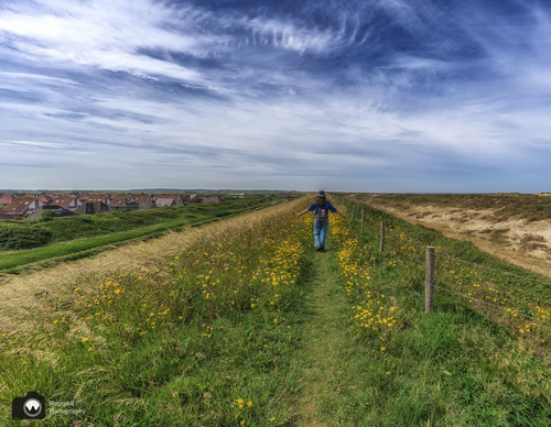
- The orange route runs along the unpaved Hazedijk, the ring dyke of the Hazepolder and part of the Zijperpolder.
Part of this route was the Circular Route of the Month June 2025.
- The red route runs along the imposing Hondsbossche Zeewering and the Oude Schoorlse Zeedijk.
- The blue route also runs along the Hondsbossche Zeewering, partly along the landward side of the Oude Schoorlse Zeedijk and beside the Hondsbossche Vaart. The Hargermolen windmill (1804) stands in the middle of the open grassland.
Waymarking for the routes from this starting point is not yet complete or has not yet been checked. Work is currently under way.
The routes can already be followed, but it is advisable to take a map or use the free app to avoid disappointment.