Starting Point Haarlem-Spaarnwoude Station

Routes from this starting point
-
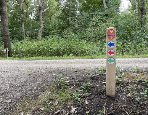
Veerplas Walk (red)
- 3.66km
-
Fuikplas Route (green)
Unpaved path (partly) - 5.73km
-
Haarlemmerliede Walk (blue
Unpaved path (partly) - 10.54km
-
Spaarne Route (orange)
Unpaved path (partly) - 13.84km
Haarlem-Spaarnwoude station is located on the outskirts of Haarlem. Here you can literally turn your back on the hustle and bustle because you can walk from the station straight into the lovely green surroundings towards Haarlemmerliede. The Oudeweg (Old Road) in Penningsveer is aptly named. For a long time it was the shortest overland connection to Amsterdam. The wide, shallow body of water north of this is called Mooie Nel (Pretty Nel). It’s a great spot for recreational activities in the summer and winter.
- The Veerplas Walk (red) in Haarlem-Spaarnwoude is a short walk around the lake on well-paved paths. If desired, you can skip the eastern loop over grass paths.
- The Fuikplas Route (green) is a walk along the edge of Haarlem and its surroundings. You walk along the Charta 77-Vaart through Parkwijk and it goes around the Fuikplas in the trendy Reinaldapark.
- The Haarlemmerliede Walk (blue) from starting point Haarlem-Spaarnwoude Station is a long walk that connects the church of Spaarnwoude with the rural village of Haarlemmerliede and with the Veerplas at Penningsveer. You’ll mainly walk on cycle paths. One of the two historic church paths is actually a path right through the meadows, so it can be a bit soggy!
- The Spaarne Route (orange) from Haarlem-Spaarnwoude takes you to the top of the Schoteroog, a former landfill with a magnificent view. Then you walk further into Haarlem along the banks of the Spaarne. Windmill De Adriaan and the Gravestenenbrug are a couple of highlights along the route. The Zomervaart and the Fuikvaart lead back to the station via the Parkwijk.

