
Starting Point De Haukes

Routes from this starting point
-
Postbootroute (red)
- 3.64km
-
Hoelmroute (green)
- 5.02km
-
Westerkliefroute (geel)
- 9.69km
wandelkaart startpunt De Haukes (1862 kb)
De Haukes is an attractive dyke village by an old harbour, where the mail boat from the mainland once docked alongside the fishing boats. Initially, that boat had a long journey: first from Oudesluis in the Zijpepolder (since 1597), later from Nieuwesluis in the Wieringerwaard (since 1611), and later still from the mouth of the Oude Veer in the Anna Paulownapolder (since 1847). The crossing must have made a strong impression on travellers at the time, with the straight eelgrass dykes stretching ahead. In his Wieringengids of 1855, F. Allan described them as ‘white dykes resembling small chalk hills’.
- The red Postboot Route runs along the Westerlanderdijk and several small beaches on the Amstelmeer. It continues along Westerlanderweg, an old lord’s or king’s road across the island, to the 19th-century church with its medieval tower.
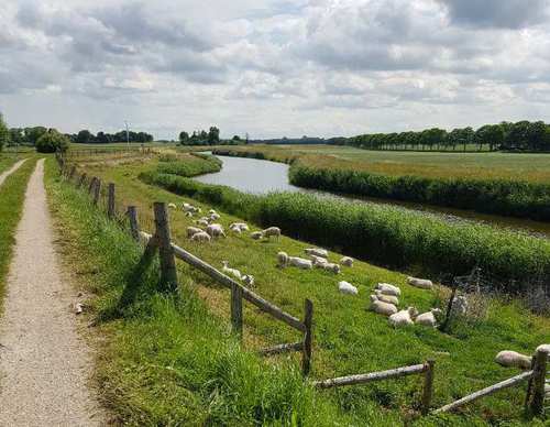
- The green Hoelm Route runs through the low-lying Hoelmerkoog behind the dyke, with its green meadows and old duck decoy. The route starts to climb at the Westeren Oosterklief (‘klief’ is Wieringen dialect for cliff). Vikings are thought to have lived here between 850 and 900, as evidenced by excavated silver hoards. The route continues along the Hoelmerdijk, an old dyke built from compressed eelgrass. This route is waymarked in both directions with green arrows.
- The yellow Westerklief Route runs towards the Wadden side of the western boulder clay hill of Wieringen, then continues through to the cliff area.