
Starting point Anna Paulowna

Routes from this starting point
-
Kruiszwinroute (red)
- 2.66km
-
Poldertuinroute (sea green)
- 5.03km
-
Kneeskaderoute (yellow)
- 9.55km
-
Oude Veerroute (blue)
- 11.65km
This starting point lies beside the oldest church in Anna Paulowna, built between 1853 and 1855. When the land was reclaimed in 1846, few people lived here. A village soon grew around the Kleine Sluis on the Hooge Oude Veer and soon became the centre of life in the polder. Reminders of that time include the church and the white Polderhuis of the water authority, with its colourful Poldertuin: ‘Klein Keukenhof’. None other than Jan David Zocher designed the garden in 1855, in a winding English landscape style.
- The red Kruiszwin Route explores the historical Poldertuin Anna Paulowna and the adjoining nature area of the reed-fringed Kruiszwin, once a tidal creek in the Balgzand mudflats. The route is waymarked in both directions with red arrows.
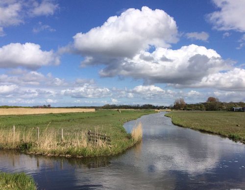
- The sea-green Poldertuin Route takes in the Poldertuin and the Kruiszwin and continues to the Spoorbuurt. The route follows the Hooge Oude Veer, displaying the greener sides of ‘A.P.’, as Anna Paulowna is known locally.
- The yellow Kneeskade Route follows the green Noordwesterdijk of the Wieringerwaard towards the village of Oudesluis, on the far side of the Zijperdijk. It continues along the winding Kneeskade to the Hooge Oude Veer. The route is waymarked in both directions with yellow arrows.
- The blue Oude Veer Route runs through the Poldertuin and the Kruiszwin to the north-eastern corner of the polder – the village of Van Ewijcksluis on the Balgzand Canal. It then continues along the green Amsteldiepdijk and follows the Lage Oude Veer. The route is waymarked in both directions with blue arrows.
The Noord-Hollandpad is a long-distance walking route (284 km), divided into 16 stages, running from Texel to Huizen. It crosses the inland landscapes of Noord-Holland along farm tracks, past windmills, ditches, canals and woodland, and through distinctive villages. The route is signposted in both directions. Stage 4 runs from Julianadorp to Kolhorn (22 km), and stage 5 runs from Den Oever to Kolhorn (29 km). For more information, see www.noordhollandpad.nl.