
Starting point Barsingerhorn

Routes from this starting point
-
Barsingerhornroute (purple)
- 9.11km
-
Gemalenroute (blue)
- 9.4km
-
Westfriesedijkroute (yellow)
- 15.06km
wandelkaart startpunt Barsingerhorn (2033 kb)
Barsingerhorn is a Provincially Protected Village Conservation Area for a reason – the first and only one in Noord-Holland. This east–west linear village, with its stolp farmhouses – traditional Dutch farmhouses built in the shape of a cheese cover – and the Regthuys in Renaissance style (1622, later used as the town hall), has a long history. It began as a medieval settlement, built on raised mounds to protect homes from flooding along the south side of an old dyke road (the present Heerenweg, lined with ash trees). Although it was granted town rights in 1415, it remained a village. The north–south land division in the polders has changed very little over time, which is highly unusual.
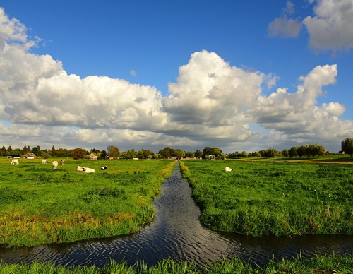
- The purple Barsingerhorn Route runs along the former tramway, now a rural path through farmland beside the restored waiting shelter. The steam tram between Schagen and Van Ewijcksluis ran here from 1912 to 1935. It continues along a grass dyke teeming with sheep beside the pre-war Schagen-Kolhorn Canal towards Schagen station. The route is waymarked in both directions with purple arrows.
- The blue Gemalen Route passes through the long linear village towards Kolhorn. It continues past the disused Schagerkogge pumping station, built in 1927 in Amsterdam School style, then to its predecessor at the Molenkolk (a steam-powered pumping station from 1871) and its successor (the Kolhorn pumping station from 2007). The route is waymarked in both directions with blue arrows.
- The yellow Westfriesedijk Route extends the Barsingerhorn Route, continuing to the Westfriese Omringdijk (c. 1200–1250), which made it possible to reclaim the mudflats here (Kaagpolder). It also passes through Kolhorn, formerly a fishing harbour on the Zuiderzee. The route is waymarked in both directions with yellow arrows.