
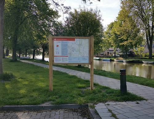
Starting Point Dirkshorn

Routes from this starting point
-
Groot-Frieslandpad, stage 2
- 16.69km
-
Meer Route (blue)
- 2.73km
-
Galgenkade Route (green)
- 4.62km
-
Groenveld Route (red)
- 4.66km
-
Woudmeer Route (purple)
- 9.74km
wandelkaart startpunt Dirkshorn (3296 kb)
Dirkshorn developed along the Oosterdijk of the Geestmerambacht. The dyke village was probably named after a horn or projecting piece of land associated with a man called Dierick or Diederik. It lay in a wooded raised peat bog, already reclaimed in the early Middle Ages by settlers from the dune village of Petten. These settlers from the sandy soil between the dunes and the polder, known as ‘geestmannen’, established their own jurisdiction or ‘ambacht’, which gave rise to the name Geestmerambacht.
- The blue Meer Route is a circular walk along shell paths and grass embankments around the Meertje van Dirkshorn, a water storage area in the Koetenburgpolder. It then runs past the sports fields along the green eastern embankment of the Voorpolder. This route is waymarked in both directions with blue arrows.
- The green Galgenkade Route runs towards Groenveld and crosses the Galgenkade at the Valkkoog pumping station, where criminals were once hanged as a deterrent. It continues along the Groenvelderweg between the golf courses. This route is waymarked in both directions with green arrows.
- The red Groenveld Route runs largely over grass towards the hamlet of Groenveld, along the western embankment of the Voorpolder and the ring canal of the Schagerwaardpolder. It also passes through the hamlet of Stroet. This route is waymarked in both directions with red arrows.
- The purple Woudmeer Route runs south from the Meertje van Dirkshorn along the scenic Woudmeerpad beside the ring canal of Waarland. It continues entirely over grass to Oudkarspel and returns along the Ambachtsdijk and the Oosterdijk, further on known as the Dorpsstraat. This route is waymarked in both directions with purple arrows.