
Starting point Middenmeer

Routes from this starting point
-
Middenmeer Route (blue)
- 3.82km
-
Huis van Middenmeer Route
- 2.8km
-
Dolfijnenroute (geel)
- 7.07km
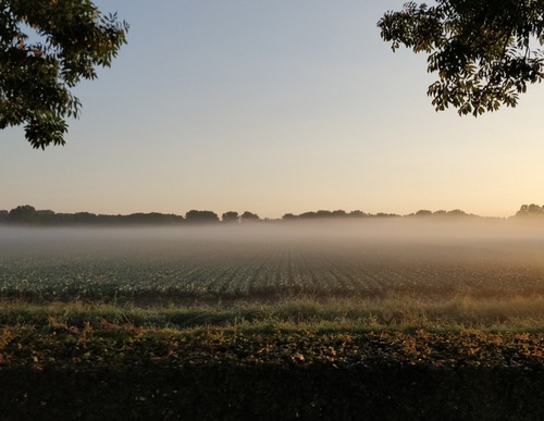
Middenmeer was the second village, after Slootdorp, to be built in the newly reclaimed Wieringermeer: the first family moved into a house here in July 1932. These houses stood along a main road and a long village green or ‘brink’, known here as the Brugstraat. The layout followed the village plan of the Delft planner and architect Granpré Molière, in which traditional Dutch brink villages formed the model. Shops and churches had to be located along the brink, with schools, sports fields, green spaces and cemeteries set slightly further away. The surrounding roads had to be lined with green strips and trees, and the farms built in a range of traditional styles: large barns with gable or hip roofs, with the farmhouses beside, in front of or behind them, surrounded by plants.
- The blue Middenmeer Route is an attractive circular walk around the village. The route is waymarked in both directions with blue arrows.
- The red Huis van Middenmeer Route runs to a real gem in the polder: the tea house in the Huis van Middenmeer home store. It continues through the rear yard and a farm track belonging to the Scholten family to the green Praamweg, then returns to the village. The route is waymarked in both directions with red arrows.
- The yellow Dolfijnen Route extends the red route along more farm tracks, running straight across the fields to the Dolfijntocht and the Westerterptocht.