Starting point 't Verlaat

Routes from this starting point
-
Rondje Waarland (green)
- 7.03km
-
Leijenroute (black)
- 8.57km
-
Verlaat (purple)
- 9.44km
wandelkaart startpunt 't Verlaat (2270 kb)
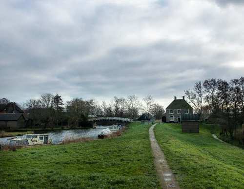
At the former ‘verlaat’ (lock) at Niedorp, vessels could pass through the lock from the Niedorpervaart to the Westerlangereis, and vice versa. In 1942, the waterway was deepened and widened to form the Alkmaar-Kolhorn Canal, and the main road between Schagen and Hoorn was diverted – now the N241. The junction with the N242 has recently been upgraded with a turbo roundabout, making the area much safer for walkers. The Westerlangereis waterway marks the boundary between Heerhugowaard and Niedorp.
- The green Rondje Waarland Route explores the Boomerwaal nature reserve, managed by Staatsbosbeheer (Dutch Forestry Commission). Along the nature zone on the south bank of the canal, it follows the unpaved Waardkade – the northern ring dyke of the reclaimed land of Heerhugowaard.
- The black Leijen Route runs alongside the Rondje Waarland at first, then turns right at the Weelbrug towards ’t Veld. It continues along the grass verge beside the tree-lined Leijerpolderweg and along the grass dyke on the north bank of the canal. The route is waymarked in both directions with black arrows.
- The purple Verlaat Route leads through the dyke hamlet of Terdiek to Oude Niedorp and its lock. It continues along the grass dyke on the north side of the canal. The route is waymarked in both directions with purple arrows.