
Choose your starting point
The starting points are easily accessible by car and usually also by public transport. Parking is available and you will usually find good catering facilities nearby. At each starting point you will find an information board showing the nicest walking routes in the immediate vicinity. You can choose from an array of circular walks, with distances ranging from 2 to 12 km, all signposted in two directions with coloured arrows.
Prefer a longer walk?
Then a themed route is ideal.
Characteristics
Quick search
182 results
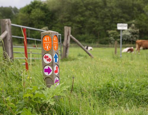

Starting Point Van Ewijcksluis
The largest lock in the Anna Paulowna polder is named after Daniël van Ewijck, a provincial governor of Noord-Holland who promoted the reclamation of the polder (1845–1846). A state-of-the-art
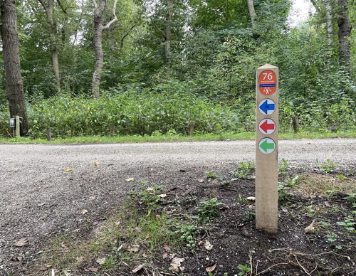

Starting point Veerplas Haarlem (tourist transfer point)
The Veerplas on the edge of the Waarderpolder is a popular recreation spot for many Haarlem residents. In the winter, the lake is the domain of large numbers of grey geese and wigeon ducks. From the

Starting point Venneperhout Nieuw-Vennep (tourist transfer point)
The Venneperhout was first water, then arable land and now a polder forest. Construction started in 2003. The result is a varied park forest on the edge of Nieuw-Vennep with some brushland. It’s
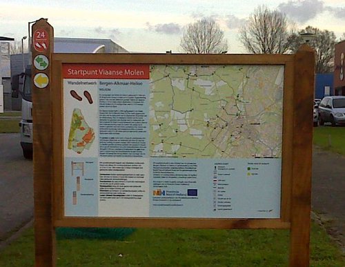

Starting point Viaanse Molen
The predecessor of De Viaan Mill was built in 1564 to drain and keep dry the Bergermeer. Today this is done by an electric pumping station. The mill was demolished during the Spanish War in 1573.

Starting point Vijfhuizen
It might be hard to imagine here amongst the new housing estates, but Vijfhuizen already existed before the reclamation. At that time, the centre was a little further north on a headland in the

Starting point Vogelenzang
Vogelenzang is located on one of the old beach ridges behind the dunes. Bulb cultivation has traditionally been done on the geest lands in between. In the spring, the colourful carpets of blooms
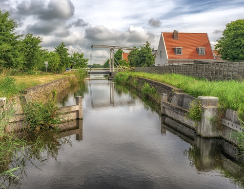

Starting point Volgermeer
Originally, Volgermeer was a peat meadow area. Between 1920 and 1955, Veenderij Zunderdorp excavated and dredged it into deep peat-cutting pits. From 1927, the pits were filled with household and
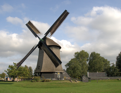

Starting Point Waarland
Before the reclamation works of the 1550s–1590s, this area consisted of an archipelago of small islands in reed beds and shallow lakes. Waarland was therefore written as Waertland (low-lying land).
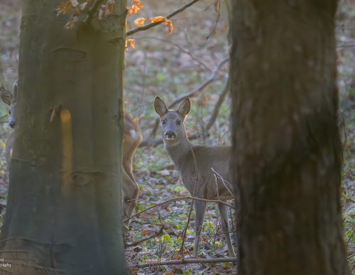

Starting point Wandelbos Groenendaal Heemstede
We should be glad that the municipality of Heemstede bought Wandelbos Groenendaal in 1913 when excavation for bulb cultivation was imminent. It’s a combination of several estates and homesteads
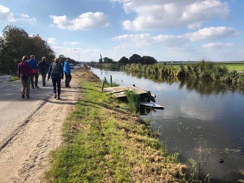

Starting Point Warmenhuizen
Warmenhuizen originated as a cluster of dwelling mounds or ‘wallen’ (Oostwal, Oude Wal), built up in the early Middle Ages using clay and seaweed by settlers from Schoorl. This dune village lay