
Choose your starting point
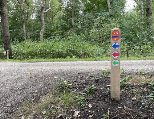
The starting points are easily accessible by car and usually also by public transport. Parking is available and you will usually find good catering facilities nearby. At each starting point you will find an information board showing the nicest walking routes in the immediate vicinity. You can choose from an array of circular walks, with distances ranging from 2 to 12 km, all signposted in two directions with coloured arrows.
Prefer a longer walk?
Then a themed route is ideal.
Characteristics
Quick search
182 results
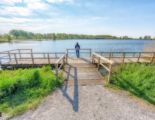

Starting point Westbroekplas
Three marked walking routes depart from this point and pass through Spaarnwoude Park: a diverse region of forests, polders, peat meadows, marshes and water. There are also two forts that were part of
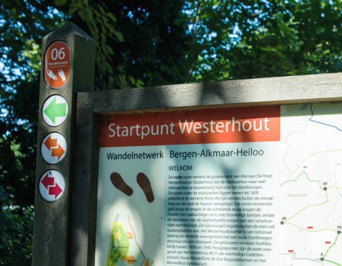

Starting point Westerhout
For centuries, the people of Alkmaar have spent their leisure time in the city parks De Hout, Westerhout and Oosterhout, which were once farmland and pasture. Around 1600, so-called houten were
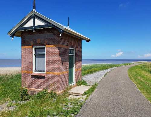

Starting point Westerland
You can choose from three varied circular walks in and around Wieringen's gently undulating Westerland: over old weir and tidal dikes, past a harbour, a lake and a sea. Altogether, it’s an ode to
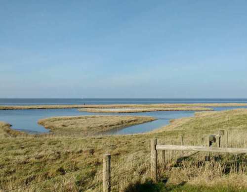

Starting Point Wieringen
To the west of Den Oever, the land rises gently to the five-metre-high boulder clay hill of the old village of Oosterland. The hill was pushed up by Scandinavian glaciers during the Ice Age and later
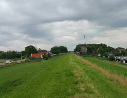

Starting Point Wieringerwaard
Initially, the Wieringerwaard, reclaimed in 1610–1611, was known as the Nieuwe Zijpe, as it was seen as an extension of the Zijpe, which had been definitively reclaimed in 1597. The Wieringerwaard
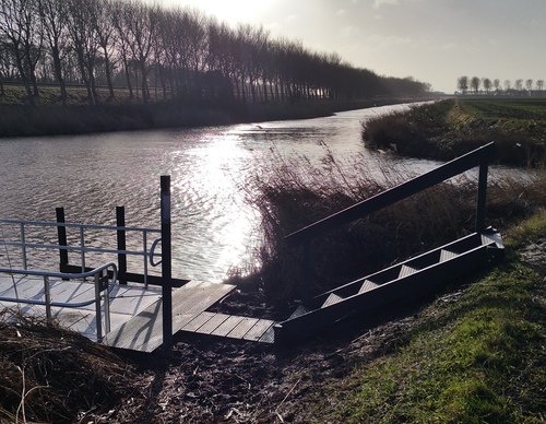

Starting Point Wieringerwerf
Wieringerwerf was the third village to be built in the Wieringermeerpolder (1930). Its first residents arrived in 1936. Slowly but surely, a village grew here that looked rather different from the
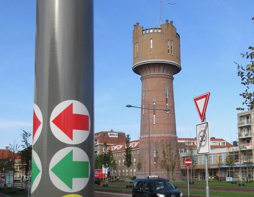

Starting Point Willemsoord
Although the naval yard is called Willemsoord, it was in fact Napoleon who ordered its construction, not King William I. ‘Napoleonsoord’ would have been a more accurate name. During his visit in
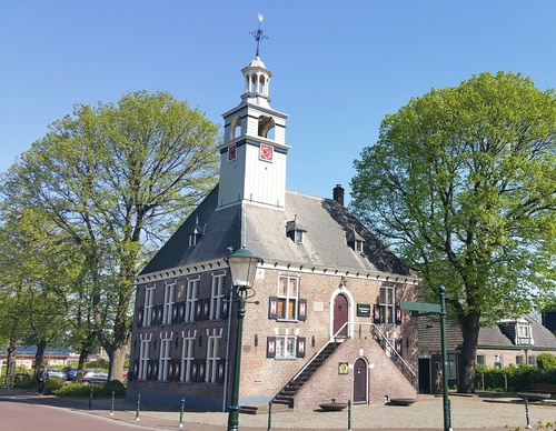

Starting Point Winkel
The routes from this starting point begin at the car park behind the distinctive old Regthuys (1599) in the centre of the village of Winkel. The weekly butter market was once held on the forecourt of

Starting point Zandvoort Station
Zandvoort aan Zee has been associated with the beach and the race track for years. The small fishing village became known as a seaside resort in the 19th century. There was a Kurhaus grand hotel and

Starting point Zandvoortselaan (tourist transfer point)
The Zandvoortselaan entrance is one of the four main entrances of the Amsterdamse Waterleidingduinen (Water Supply Dunes, AWD). The dune region is 3,400 hectares in size. Waternet has been purifying