
Search results
Characteristics
Quick search
426 results
Region
Length
Characteristics
 (deels) gesloten")
Brouwerskolk Walk (purple)
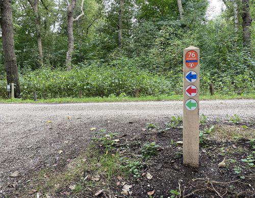
The Brouwerskolk Walk (purple) is a short but rigorous walk through the park of the same name. On easily accessible paths you climb to the Kopje van Overveen. The brick viewing platform on top of the Kopje ensures for a few extra altimeters. The Brouwerskolk is on the other side of the park. A
3.28 km- (2)
 (deels) gesloten")
Linquenda Route (orange)
The Linquenda Route (orange) is a surprisingly green and varied walk along city parks, through a business park, a park forest and back along the water through the Linquenda residential area. You will also visit the centre of Nieuw-Vennep, where there’s been a lot of investment in beautiful
6.5 km- (0)
 (deels) gesloten")
Centrum–Oost Route (red)
The Centrum–Oost Route (red) leads to the old centre of Venneperdorp at the junction of the Venneperweg with the Hoofdvaart. The route leads through a park and walking forest, past a petting zoo and three churches, of which the white church on the Hoofdvaart in Nieuw-Vennep is the most striking.
3.63 km- (1)
 (deels) gesloten")
Geniedijk Route (green)
Via Geniedijk, the Geniedijk Route (green) goes along the Wandelbos walking forest, orchards, a petting zoo and newer green spaces developed to compensate for the development of Schiphol. Wandelbos Hoofddorp was a job creation project from the crisis years before the Second World War. There is an
10.61 km- (2)
 (deels) gesloten")
Aerdenhout Walk (purple)
The Aerdenhout Walk (purple) leads past the parks and public gardens of the residential district. There’s also a brief visit to the Haarlemmerhout. Separated by greenery and gardens, each house has plenty of its own space. Closer to the station, the buildings are more compact and there seems to
7.19 km- (8)
 (deels) gesloten")
Crayenest Route (red)
The Crayenest Route (red) in Heemstede leads to Crayenest, once a hamlet, on the south side of the Haarlemmerhout. The Koninklijke HFC football club has its pitch there. In the 17th century, there were several mansions (including Huis te Crayenest) and five inns. The route takes you via a
4.38 km- (0)
 (deels) gesloten")
Spaarne Route (orange)
The Spaarne Route (orange) from Haarlem-Spaarnwoude takes you to the top of the Schoteroog, a former landfill with a magnificent view. Then you walk further into Haarlem along the banks of the Spaarne. Windmill De Adriaan and the Gravestenenbrug are a couple of highlights along the route. The
13.84 km- (1)
 (deels) gesloten")
Haarlemmerliede Walk (blue
The Haarlemmerliede Walk (blue) from starting point Haarlem-Spaarnwoude Station is a long walk that connects the church of Spaarnwoude with the rural village of Haarlemmerliede and with the Veerplas at Penningsveer. You’ll mainly walk on cycle paths. One of the two historic church paths is
10.54 km- (1)
 (deels) gesloten")
Fuikplas Route (green)
The Fuikplas Route (green) is a walk along the edge of Haarlem and its surroundings. You walk along the Charta 77-Vaart through Parkwijk and it goes around the Fuikplas in the trendy Reinaldapark.
5.73 km- (1)
 (deels) gesloten")
Veerplas Walk (red)
The Veerplas Walk (red) in Haarlem-Spaarnwoude is a short walk around the lake on well-paved paths. If desired, you can skip the eastern loop over grass paths.
3.66 km- (1)