
Search results
Characteristics
Quick search
358 results
Region
Length
Characteristics
 (deels) gesloten")
Around the Inlaagpolder Route (purple)
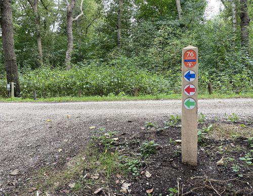
The Around the Inlaagpolder Route (purple) near Spaarndam is the grassiest route. You walk along the Westhoffplas, where spoonbills feast on river shrimp. You can take in the expansive views while walking on the Inlaagdijk.
9.35 km- (1)
 (deels) gesloten")
Ringvaart Walk (blue)
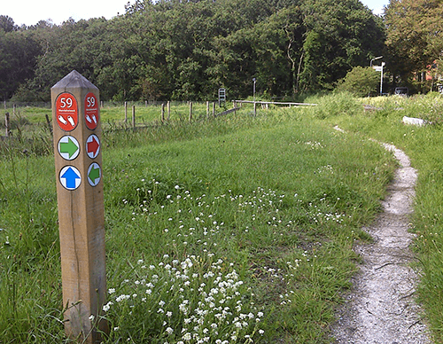
The Ringvaart Walk (blue) between Badhoevedorp and Lijnden meanders along the Bloemenbuurt to the Ringvaart. You walk 2 km over and underneath the ring dike via the Akermolen to the Molen van Sloten windmill. On the other side of the Ringvaart is where the Badhoeve stood, the farm that gave the
6.51 km- (0)
 (deels) gesloten")
Old A9 Walk (yellow)
The Old A9 Walk (yellow) in Badhoevedorp follows the old motorway route along the edge of the town centre and the old garden village Tuindorp. The Green Zoom is also included over the full length in the route. You’ll walk through a semi-open section of forest and along the Vierbuizenmeertje.
6.1 km- (1)
 (deels) gesloten")
Lijndenhof Walk (purple)
The Lijndenhof Walk (purple) between Badhoevedorp and Lijnden leads you all the way around the Airport Business Park Lijnden. And yes, this is a very nice route because you walk largely on exclusive walking trails.
3.77 km- (1)
 (deels) gesloten")
Quatrebras Walk (orange)
The Quatrebras Walk (orange) is a short circular walk through the walking park and along the edge of the residential neighbourhood of the same name in Badhoevedorp. Of course, it also goes past the De Hoeve petting zoo
1.99 km- (0)
 (deels) gesloten")
Koppen en Kuilen Route (red)
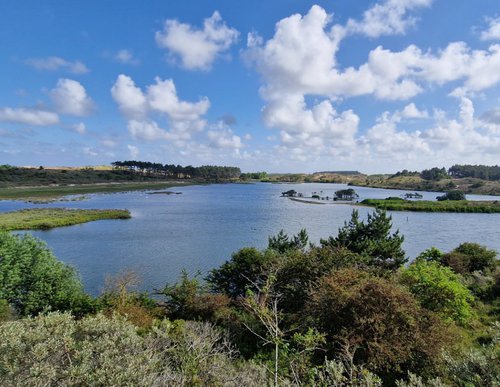
The Koppen en Kuilen Route (red) links the sea at the Parnassia entrance with the inland dunes at the Bleek en Berg entrance at Bloemendaal. The rugged walk continues up and down hills with open dunes and through wooded valleys over small sandy paths in Zuid-Kennemerland National Park. You will
12.75 km- (2)
 (deels) gesloten")
Ten Mountains Route (blue)
The Ten Mountains Route (blue) near Bloemendaal, between the foredunes along the shore and the edge of the inland dune region, is the most well-known route in Zuid-Kennemerland National Park. Wider paths lead through varied landscapes and over multiple dune ridges. There is a huge variety of
9.27 km- (1)
 (deels) gesloten")
Hazenberg Walk (green)
The Hazenberg Walk (green) is a short walk through the young seaside dunes of Zuid-Kennemerland National Park and flowery grasslands such as the Bruid van Haarlem and the Ogenkuil. Along the Vogelmeer, you walk towards the 32-metre-high Hazenberg lookout point with a beautiful view over the
3.91 km- (1)
 (deels) gesloten")
Bentveld Route (yellow)
The Bentveld Route (yellow) leads around and through the residential area of Bentveld. Hidden paths give a feeling of the natural dune region that once was here. Along the way, there is also a lot of greenery behind which large prestigious homes hide. We pass Groot Bentveld, an estate with a
6.71 km- (5)
 (deels) gesloten")
Around Kennemerroode Route (red)
The Around Kennemerroode Route (red) leads through the terrain of Landschap Noord-Holland, a nature and landscape preservation foundation, and the surrounding small paths and trails through Aerdenhout and Bentveld. Many prestigious properties hide their architecture behind hedges and garden
3.75 km- (0)