
Search results
Characteristics
Quick search
358 results
Region
Length
Characteristics
 (deels) gesloten")
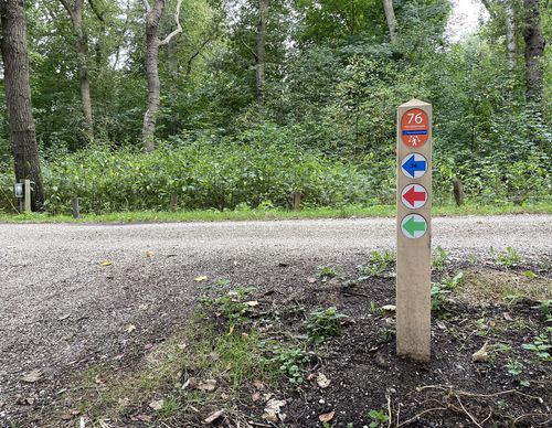
Princenbosch Route (purple)
The Princenbosch Route (purple) at Santpoort-Noord also runs across the hunting domain of the Prince of Orange. Your legs will get a workout climbing the Koepelberg (25 m). You cross the inland dunes via Midden-Herenduin. The Princenbosch path along the track offers a beautiful view of the edge
3.7 km- (1)
 (deels) gesloten")
Speuren in de duinen/ Quest in the dunes Walk (yellow)
The ‘Speuren in de duinen’/Quest in the dunes Walk (yellow) in Zuid-Kennemerland National Park near Santpoort-Noord is a short family route with fun tasks. For more information, go to Natuurmonumenten.nl.
1.93 km- (0)
 (deels) gesloten")
Koepelberg Route (green)
The Koepelberg Route (green) at Santpoort-Noord is a short, but not to be underestimated, walk in Zuid-Kennemerland National Park. You will climb the 25-metre-high Koepelberg in no time. Located at the top of the dune top is a bench with lilacs. The wealthy merchant Cremer previously had a tea
1.69 km- (1)
 (deels) gesloten")
Prinsen Route (orange)
The Prinsen Route (orange) from starting point De Glip in Heemstede leads along the hull of De Nachtegaal windmill, the Ringvaart of the Haarlemmermeer Polder, the Merienberg, Groenendaal and Huis te Manpad country estates, and the Glipperzandvaart.
3.71 km- (2)
 (deels) gesloten")
Overplaats Route (black)
The Overplaats Route (black) from starting point De Glip in Heemstede leads through the Overplaats van Landschap Noord-Holland country estate, wooded with ancient trees, and along the marshy land on the shore of the former Haarlemmermeer.
2.2 km- (0)
 (deels) gesloten")
Nieuwemeer Walk (green)
The Nieuwemeer Walk (green) goes a step further than the Old A9 walk. From the Groene Zoom, the walk continues under the Badhoevedorp motorway junction. Paths along the golf course and on the other side in the slope of the motorway complete the circuit.
6.07 km- (0)
 (deels) gesloten")
Old A9 Walk (yellow)
The Old A9 Walk (yellow) in Badhoevedorp goes through Tuindorp and then leads through the Groene Zoom, where just a decade ago traffic used to race past. Via Het Lint, the old A9 route, you walk to Quatrebras. A stroll through this walking park is of course part of the route.
6.1 km- (0)
 (deels) gesloten")
Vierbuizenmeer Walk (red)
The Vierbuizenmeer Walk (red) in Badhoevedorp is a nice circular walk to experience the garden village of old. The neighbourhood has a spacious layout, with curved avenues of trees, long ponds and a variety of tree species.
2.61 km- (0)
 (deels) gesloten")
Duin en Daalse Walk (blue)
The Duin en Daalse Walk (blue) brings you above it all to the Kopje van Bloemendaal. In 1908, this 43-metre-high dune was crowned with a viewing platform in honour of queen Wilhelmina's jubilee. The walk goes past Hertenkamp Bloemendaal animal park and Thijsse's Hof botanical park. You will pass
4.2 km- (2)
 (deels) gesloten")
Caprera Walk (red)
The Caprera Walk (red) shows this unique estate in Bloemendaal from all sides. The walking park is part of Zuid-Kennemerland National Park. At the highest point, you walk between tall pines. A few lookout points offer beautiful views of the city, the dunes and even the sea. A steep slope leads to
2.93 km- (1)