
Search results
Characteristics
Quick search
489 results
Region
Length
Characteristics
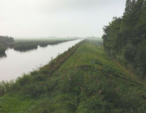

Kromme Gouw Route (purple)
The purple Kromme Gouw Route runs along an old peat river and a pre-war canal, partly over grass dykes. The farm track is closed between 1 March and 1 July during the bird breeding season. The route is waymarked in both directions with purple arrows. Note: Some grass dykes on the route can be
7.15 km- (8)
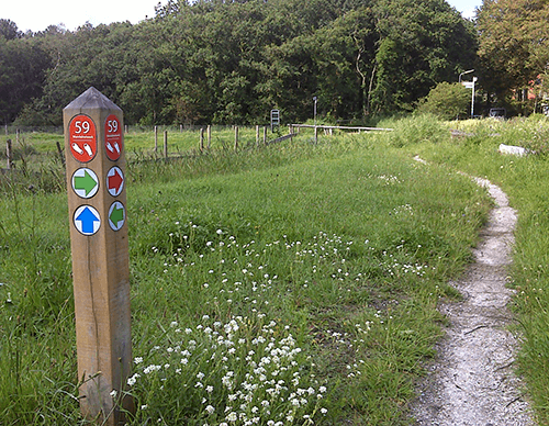

Waardkanaal Route (red)
The red Waardkanaal Route crosses to the high grass dyke along the Waardkanaal, with wide views over the Waardpolder, a subsidiary polder of the Wieringerwaard from 1847. The route is waymarked in both directions with red arrows.
6.03 km- (1)

Hoogsloot Route (green)
The green Hoogsloot Route is a circular walk along the Onderkolk to the village woodland. Spoonbills can sometimes be seen along the shell path beside the main channel of a new pumping station. The route is waymarked in both directions with green arrows.
3.29 km- (0)

Oude Veerroute (blue)
The blue Oude Veer Route runs through the Poldertuin and the Kruiszwin to the north-eastern corner of the polder – the village of Van Ewijcksluis on the Balgzand Canal. It then continues along the green Amsteldiepdijk and follows the Lage Oude Veer. The route is waymarked in both directions with
11.65 km- (2)

Kneeskaderoute (yellow)
The yellow Kneeskade Route follows the green Noordwesterdijk of the Wieringerwaard towards the village of Oudesluis, on the far side of the Zijperdijk. It continues along the winding Kneeskade to the Hooge Oude Veer. The route is waymarked in both directions with yellow arrows
9.55 km- (2)

Poldertuinroute (sea green)
The sea-green Poldertuin Route explores the historic Poldertuin – known as ‘Klein Keukenhof’ – and the adjoining nature area of the reed-fringed Kruiszwin, once a tidal creek in the Balgzand mudflats. The route is waymarked in both directions with sea-green arrows.
5.03 km- (4)

Kruiszwinroute (red)
The red Kruiszwin Route explores the historical Poldertuin Anna Paulowna and the adjoining nature area of the reed-fringed Kruiszwin, once a tidal creek in the Balgzand mudflats. The route is waymarked in both directions with red arrows.
2.66 km- (0)
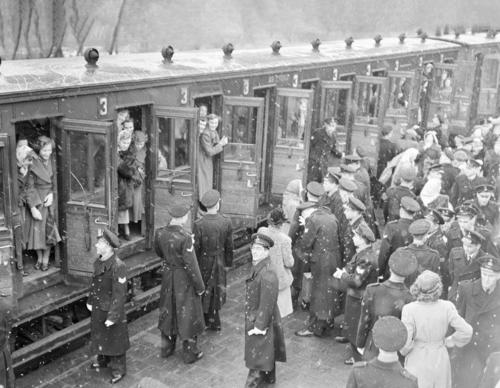

Marsdiep Route (blue)
Discover Den Helder through 10 distinctive locations Fishermen, lifeboat crews, shipwrights and the navy have transformed the village of Helder into a town over the past 200 years. Den Helder enjoyed prosperous years until the Second World War. After the war, the heavily bombed town had to be
4.1 km- (1)

Willemsoord Route (red)
The red Willemsoord Route explores the south-west side of the former naval dockyard Willemsoord, the Koopvaardershaven and two defence forts: Fort Dirksz Admiraal and Fort Westoever. The route is waymarked in both directions with red arrows.
9.36 km- (1)
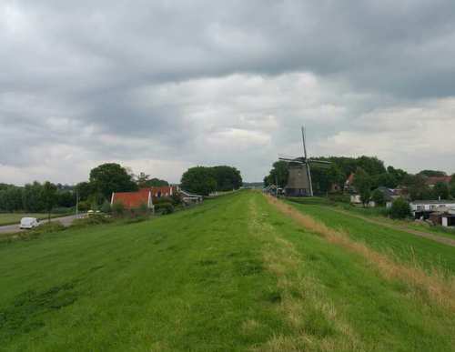

Noordwesterdijk Route (paars)
The purple Noordwesterdijk Route partly follows the Noorderdijk Route, then climbs the high grass dyke at De Hoop windmill towards Oudesluis, with wide views over the western part of the Wieringerwaard and the Oostpolder of Anna Paulowna. The route is waymarked in both directions with purple
9.51 km- (0)