
Search results
Characteristics
Quick search
489 results
Region
Length
Characteristics
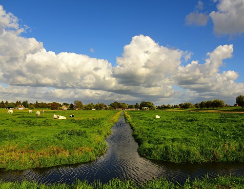

Barsingerhornroute (purple)
The purple Barsingerhorn Route runs along the former tramway, now a rural path through farmland beside the restored waiting shelter. The steam tram between Schagen and Van Ewijcksluis ran here from 1912 to 1935. It continues along a grass dyke teeming with sheep beside the pre-war Schagen-Kolhorn
9.11 km- (3)
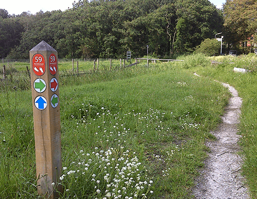

Westeinde Route (orange)
The Westeinde Route (orange) runs from Schagen along the Molenvaart, where the first houses were built in the Westpolder – reclaimed in 1846. At the old ferry crossing over the Noordhollands Canal, it turns onto the unpaved dyke of the Koegraspolder alongside the bulb fields. The route is
8.31 km- (0)

Poldertuinroute (sea green)
The sea-green Poldertuin Route explores the historic Poldertuin – known as ‘Klein Keukenhof’ – and the adjoining nature area of the reed-fringed Kruiszwin, once a tidal creek in the Balgzand mudflats. The route is waymarked in both directions with sea-green arrows.
5.22 km- (0)

Molenvaartroute (purple)
The purple Molenvaart Route follows the Molenvaart, where the first houses were built in the Westpolder – reclaimed in 1846 – and continues along the Middenvliet. On both sides, the bulb fields that have shaped the polder since the 1910s and 1920s come into view. The route is waymarked in both
4.07 km- (0)
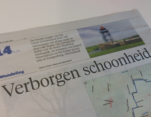

Groot-Frieslandpad, stage 2
‘To be honest, we did not expect these hidden gems. We crossed a charming woodland, took in a breathtaking view over the surroundings from the steel lookout tower of Nuwendoorn Castle, and then discovered the beautiful little church on a mound in Eenigenburg hidden among the trees. It has been a
16.69 km- (0)

Noordduinen Route (purple)
The purple Noordduinen Route runs south through the Noordduinen, turning at the Callantsogervaart and returning along the green western edge of Julianadorp. In the opposite direction, the same landscapes are experienced from a different perspective. This route is waymarked in both directions with
9.02 km- (1)

Ooghduyne Route (yellow)
The yellow Ooghduyne Route runs south through the Noordduinen to the Callantsoogervaart, then continues along the green western edge of Julianadorp around the Ooghduyne golf course. The route is waymarked in both directions with yellow arrows.
6.76 km- (1)
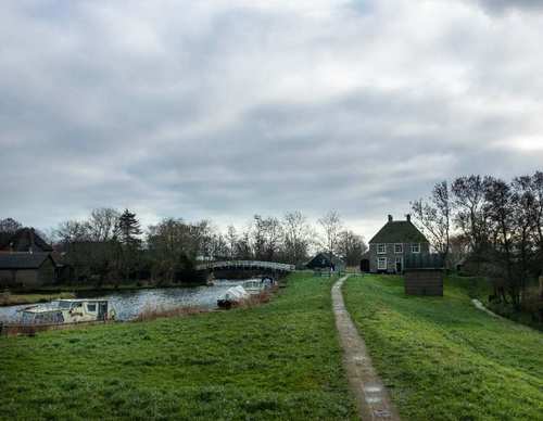

Verlaatroute (purple)
The purple Verlaat Route runs through the dyke hamlet of Terdiek and past the church ruins to ’t Verlaat, the former lock of Niedorp (now Oude Niedorp). Until 1942, vessels passed through the lock here between the Westerlangereis, a medieval drainage canal, and the old Niedorpervaart, later
9.44 km- (5)

Leijerroute (red)
The red Leijer Route continues on the far side of the canal, following the line of the Noord-Hollandpad. At the Leijerbrug, the route leaves the grass dyke and returns along the Leijerdijk to the southern part of Nieuwe Niedorp. The route is waymarked in both directions with red arrows.
4.84 km- (2)

De Rijd Route (yellow)
The yellow De Rijd Route is a circular walk around the recreational area itself, partly along the grass dykes on the eastern bank of the canal. It also runs along the Westerweg and the attractive Dorpsstraat in Nieuwe Niedorp. The route is waymarked in both directions with yellow arrows.
2.52 km- (1)