
Search results
Characteristics
Quick search
489 results
Region
Length
Characteristics
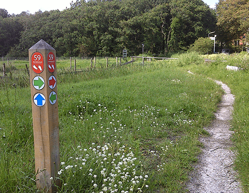

Terp Route (sea green)
The Terp Route (sea green) is a short circuit through the green edges of the village, including the terp.
8.22 km- (1)
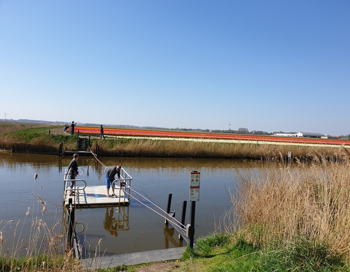

Tulip Route (orange)
The Tulip Route (orange) passes under the A7 and crosses by hand-pulled ferry to bulb fields and arable land. You follow a farm track beside the broad Oosterterptocht, then take a right-angled turn towards Wierweg.
3.34 km- (0)
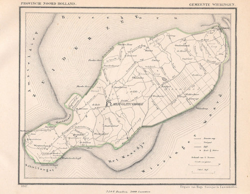

Wierdijk Route (blue)
The blue-marked Wierdijk Route runs to the old hamlet of Stroe on higher ground. A short link to the Hippolytushoeverdijk offers fine views over the 19th-century Waard-Nieuwland polder. The Hippolytushoeverdijk is an old dyke built from compressed eelgrass. Many such dykes were constructed over
10.23 km- (1)

Kliffen Route (orange)
The orange Kliffen Route runs along the Marskeweg to the Wadden Sea dyke and then continues into the gently rising cliff area south of Hippo. Vikings are thought to have lived here, as evidenced by silver hoards uncovered in the 1990s. The route then runs along the Hoelmerdijk, an old dyke built
9.26 km- (6)

Noordburen Route (green)
The green Noordburen Route is a circular walk through the old hamlets of Zandburen and Noordburen, along the Marskedijk, through the Marskepolder and along the tree-lined Marskeweg. As sheep graze on the grassy crest of the Marskedijk, dogs are not allowed there. Walkers with dogs can follow the
4.39 km- (0)
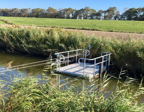

Groetpolder Route during the breeding season
Between 15 March and 20 June, this variant of the Groetpolder Route avoids the Kromme Gouw and Kolhorn to allow breeding meadow birds in the Weerepolder (between Lutjewinkel and Kolhorn) to remain undisturbed. The route still passes through the Groeterpolder (1847), following farm tracks and the
13.34 km- (0)

Groetpolder Route (orange)
The Groetpolder Route crosses the Westfriese Omringdijk (1200–1250) and enters the Groeterpolder (1847). Farm tracks lead to the grass dyke along the Groeterkanaal. The route then continues along grass dykes beside the Kromme Gouw and the Alkmaar-Kolhorn Canal. The route is waymarked in both
15.02 km- (0)

Aartswoud Route
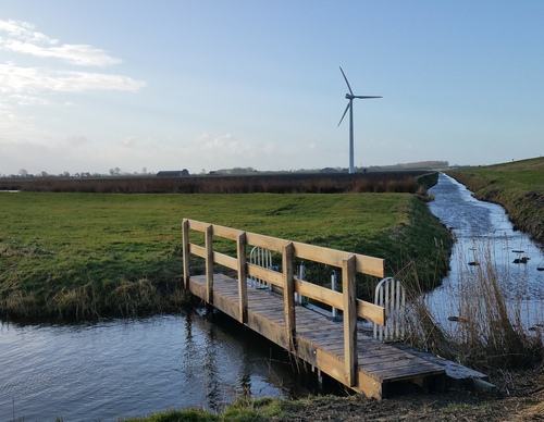
The green Aartswoud Route partly follows the Trambaan Route and continues to the medieval Langereis drainage canal and the Groene Pade of Aartswoud. It returns to the starting point along the grass dyke beside the Groetkanaal and across farmland, thanks to the cooperation of the farmers Boekhorst
14.71 km- (0)

Trambaan Route
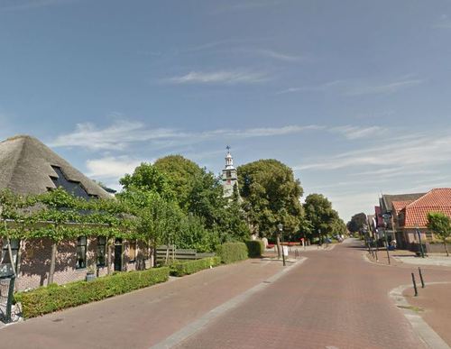
The blue Trambaan Route runs to the neighbouring village of Nieuwe Niedorp, partly along the embankment of the former Schagen–Wognum–Hoorn tramway (1898–1935). It also passes through the attractive Dorpsstraat and follows the grass dyke along the canal.
6.85 km- (4)

De Nollen Walk (yellow)
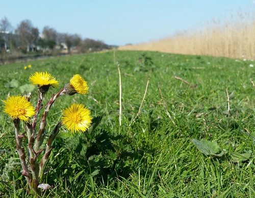
The De Nollen Walk (yellow) follows the distinctive Herenweg, then Herenwegpad alongside the Nollen housing estate and Achtergeestpad with its private sheep pastures.
6.35 km- (24)