
Search results
Characteristics
Quick search
489 results
Region
Length
Characteristics

Ilpenstein Route (yellow)
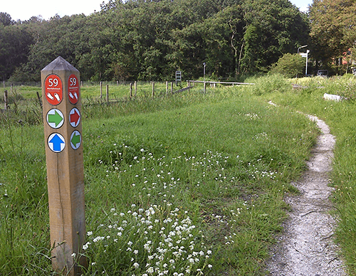
The Ilpenstein Route (yellow) is a circular walk along the Purmerringdijk around the spot on the Hofweg where Ilpenstein Castle (1622-1872) used to stand, near the farm of the same name. With its towers and moat, it looked like a proper medieval castle.
3.99 km- (1)

Overdie Walk (black)
The Overdie Walk (black) is a longer circular walk through Oosterhout, Westerhout and Boekelermeer. The grass path on the bank of Boekeler Ringsloot is for pedestrians only, and dogs are not permitted.
8.97 km- (3)

Kattenberg Route (red)
The Kattenberg Route (red) passes several of Heiloo’s green gems. Via Gemeentebos and ’t Beestenboetje children’s farm, you walk across Ter Coulster Estate. Through the parks of the spacious Plan Oost neighbourhood, you reach Nijenburg Estate, owned by Natuurmonumenten since 1928.
6.28 km- (1)

Kooimeer Route (blue)
The Kooimeer Route (blue) follows Natuurmonumenten’s Kooimeerpolder walk. You walk along the old dyke around this small lake, which was drained as early as 1566. The polder lies on the beach plain east of Nijenburg, an estate on the eastern slope of the old Heiloo–Limmen beach ridge. Stately
3.43 km- (4)

Fringe Route (green)
The Fringe Route (green) explores the green strips around the village. From an unmade path beside the Gedempte Vaart, you look out over the green area between Sint Pancras and Alkmaar. South of the railway lies the Nollenstrook, created in the 1970s as a green buffer between Beverkoog business park
7.28 km- (1)

Sint Pancras Walk (red)
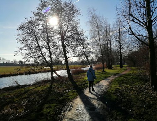
The Sint Pancras Walk (red) is an attractive village route. Benedenweg is home to several fine old farmhouses. The picturesque White Church on Kerkplein, dating back more than five centuries, immediately catches the eye. The old town hall stands opposite.
3.21 km- (1)

Sea Defence Route (blue)
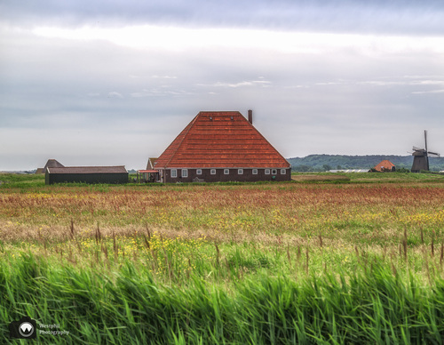
The Sea Defence Route (blue) follows the Hondsbossche Sea Defence northwards. You walk on the inland side of the Oude Schoorlse Zeedijk and beside the Hondsbossche Vaart. In the middle of the open landscape stands Harger Mill (1804), which drains the Harger and Pettermer polders.
4.8 km- (2)

Putten Route (purple)
The Putten Route (purple) circles the Putten, an extensive meadow area of ditches and pools managed by Natuurmonumenten. The area got its name from the clay pits dug to extract clay used to reinforce the Hondsbossche Sea Defence. Many birds, including unusual species, now settle here. They are easy
3.5 km- (0)

Tramway Route (green)
The Tramway Route (green) is a short walk along the former railway line of the Waterland tram towards Monnickendam. You return via a meadow path beside a new Waterland-style housing development and along the ring dyke of the drained Broekermeer. No dogs allowed.
5.77 km- (1)

Burkmeer Circuit (red)
The Burkmeer Circuit (red) offers spectacular views over Amsterdam-Noord, Zunderdorp, Ransdorp and the Broekermeer and Burkmeer, reclaimed in the seventeenth and nineteenth centuries. No dogs allowed.
6.17 km- (2)