
Choose your starting point
The starting points are easily accessible by car and usually also by public transport. Parking is available and you will usually find good catering facilities nearby. At each starting point you will find an information board showing the nicest walking routes in the immediate vicinity. You can choose from an array of circular walks, with distances ranging from 2 to 12 km, all signposted in two directions with coloured arrows.
Prefer a longer walk?
Then a themed route is ideal.
Characteristics
Quick search
182 results
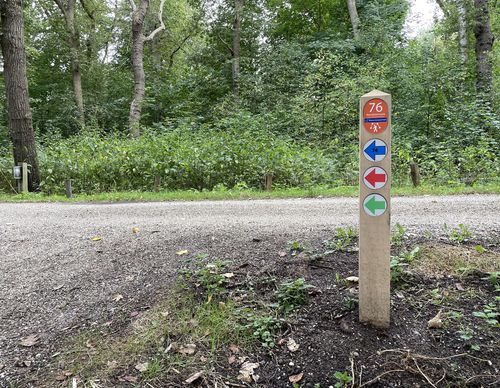

Starting point Zorgvrij Velsen (tourist transfer point)
Starting from Boerenerf Spaarnwoude, with Boerderij Zorgvrij, horticulture Het Groene Leven and restaurant Onder de Platanen, four walking routes depart through Spaarnwoude Park, a varied area of

Starting point Zwaanshoek
Three newer green areas, some of which are still under development, come together here: Boseilanden, Park Zwaanshoek and PARK21. The Bennebroekerbuurt Route (red) from starting point

Starting point Zwanenburg
Zwanenburg almost forms a double village with Halfweg. Since 2019, both villages have been united in the much larger municipality of Haarlemmermeer. Before that, the Ringvaart of the same name
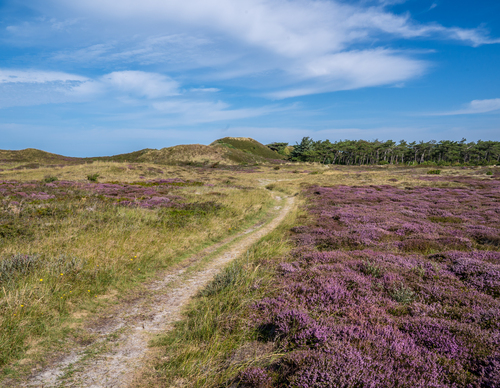

The Bollekamer
The Bollekamer nature reserve is an old inland dune area with wet heathland valleys. At the end of the 16th century, several farmers and fishermen lived in the hamlet of Borcamer, which was then
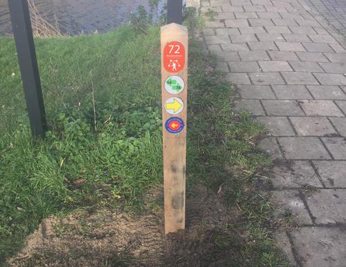

Tolhuissluis Starting Point
The Tolhuissluis lock was built in 1823 on the initiative of King William I. To improve the navigation link between Amsterdam and Rotterdam, he had two canals built, the Aarkanaal and the
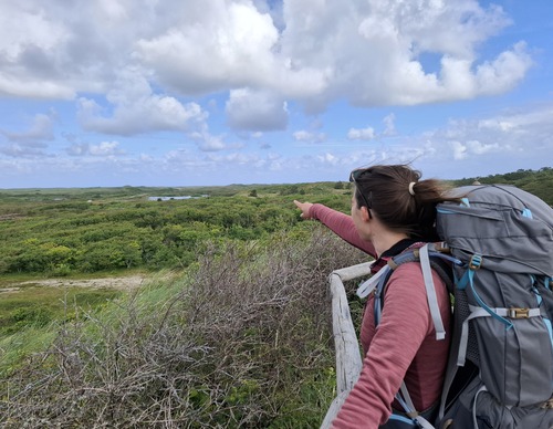

Turfveld
The Kampeersnol and the Fonteinsnol are two prominent dune formations known as 'nollen' that characterise the changing landscape around the Turfveld. Early last century, the first campers pitched

Uilenstede Starting Point
With around 3,400 residents, Uilenstede Campus is the largest student campus in the Netherlands. It is situated in the municipality of Amstelveen, right on the border with Amsterdam. Where student
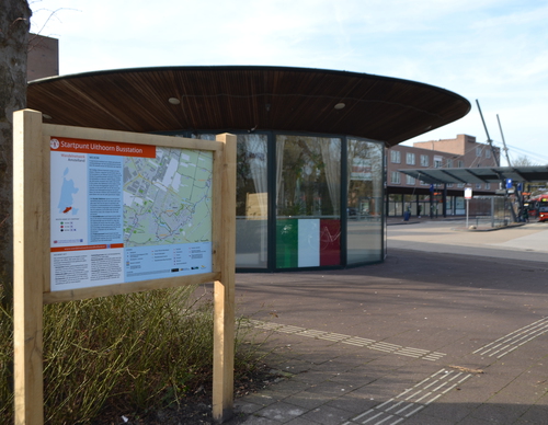

Uithoorn Bus Station Starting Point
The present Uithoorn used to consist of two villages: Thamen, approximately at the location where the bus station is now located, and Uithoorn on the banks of the Amstel river. Followers of the
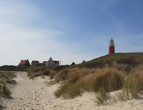

Vuurtoren
The northern tip of Texel is a spectacular area for walking. From the beach, you can see the island of Vlieland and the long De Hengst sandbar on the horizon. From west to east, the North Sea merges
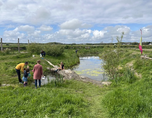
Waalenburg
Waalenburg is a true Texel Wadden polder. It used to be a salt marsh governed by the sea. The current polder was created in 1654 with the construction of the Ruigendijk on the north side. In the