
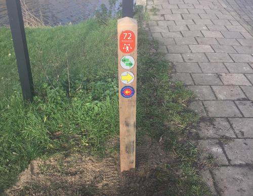
Search results
Characteristics
Quick search
358 results
Region
Length
Characteristics
 (deels) gesloten")
Amstelpark Walk (red)
The Ommetje Amstelpark or Amstelpark Walk (red) is a short walk through the park that was built for the Floriade of 1972. The cable car disappeared after the large horticultural exposition but many other attractions remain: the Orangery and the Glass House, the municipal rose garden, the
3.96 km- (2)
 (deels) gesloten")
Frankendaelroute (orange)
The Frankendaelroute (orange) runs a long way over the high ring dike around the deep Watergraafsmeer (5 metres below sea level). On the south side lies the Weespertrekvaart canal. You walk through Betondorp, known for our national football hero Johan Cruijff, and pass the site of the former Ajax
7.43 km- (2)
 (deels) gesloten")
Amstel Riverbank Path (blue)
The Amsteloeverpad or Amstel Riverbank Path (blue) passes through the Martin Luther Kingpark on the west bank. The route then follows the towpath along the waterfront and passes the Zorgvlied cemetery. Cross the Amstel along the A10 via the Rozenoordbrug. The eastern bank has nice paths through the
6.07 km- (1)
 (deels) gesloten")
Smientroute (yellow)
The Smientroute (yellow) crosses the Amstel with a ferry and runs through the Amstelpark, which houses an Orangery, a municipal rose garden, a Rhododendron Valley and a Dahliarama garden. Please note: the ferry only operates between April and September. View the sailing times on voetveren.nl.
3.26 km- (0)
 (deels) gesloten")
Klarenbeekroute (orange)
The Klarenbeekroute (orange) leads along the Klarenbeek farm, which originally dates from the 17th-century but its present form is probably around two centuries old. Nowadays it is a care farm. There are still many old farms along this part of the Amstel, such as Oranjevelt, which is located a few
4.61 km- (2)
 (deels) gesloten")
Boot Path Route (purple)
When on the Laarzenpad Groot-Duivendrecht or Boot Path Route (purple) it becomes obvious how marshy the underlying peat soil is - you will definitely need your boots here! In the Middle Ages rye and buckwheat were grown here, but drainage caused the soil to subside and the land became so wet that
3.61 km- (0)
 (deels) gesloten")
Amstel Back and Forth (black)
The Amstel Heen en Weer or Amstel Back and Forth (black) is a somewhat longer circular walk to the south along the banks of the Amstel with beautiful views over the Rondehoep polder.
8.86 km- (1)

 (deels) gesloten")
Duivendrechtse Polderroute (yellow)
The Duivendrechtse Polderroute (yellow) continues north along the Amstel and back via the Klein-Duivendrechtse Polder. This polder is popular with meadow birds such as lapwings and oystercatchers and is closed during the breeding season. Photo: Westphil Photography
7.42 km- (2)

 (deels) gesloten")
Zwaan Route (blue)
The Zwaan Route (blue) runs along the Amstel to the De Zwaan windmill via the village centre. This mill dates from 1638 and served the polder called the Klein-Duivendrechtse and Binnenbullewijkerpolder op de Amstel.
2.78 km- (0)
 (deels) gesloten")
Ommetje Bullewijk (red)
The Ommetje Bullewijk or Bullewijk Walk (red) is a short stroll along the banks of the former peat stream the Bullewijk. The old Kerkbrug (Church Bridge) is a national monument.
2.2 km- (1)